What is recorded here
Situated E of a small road in the green area of a newly-built housing estate, c. 10m to NW of another enclosure (LI013-041----). It is depicted on the 1924 OS 6-inch map as an incomplete embanked sub-oval area (diam. c. 60m N-S by c. 50m E-W) defined by a scarped edge from W to NNW and NNE to ESE, and enclosed by a bank from W to ESE, with no enclosing or defining element from NNW to NNE. A field boundary impacts on the bank from SW to SE. The monument has been levelled. A gentle oval depression (diam. 27m NE-SW; D 0.2m) is visible on the ground at this location with traces of a bank (int. H less than 0.1m; Wth.1.2m; ext. H. 0.2m) from NE to SE.
Compiled by: Denis Power
Date of upload: 27 March 2013
The monument record does not grant public access. Check the route and ask the landowner before entering private land.
- What survives
- Recorded monument
Places near here
 Saint Nessan's Catholic Churchchurch/chapel · 1125 yd
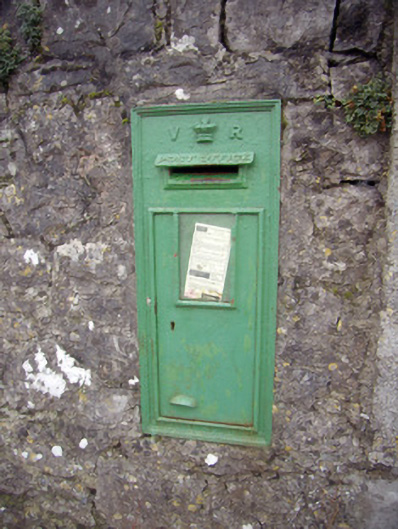 post boxpost box · 1137 yd
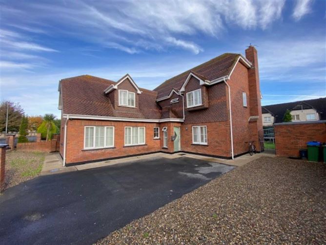 Enclosure in DooradoyleEnclosure · 1282 yd
 Fulacht fia in DooradoyleFulacht fia · 1323 yd
 CastleCastle, unclassified · 1711 yd
 Castle FieldCastle, unclassified · 2.0 mi
 Fountain SculptureHeritage attraction · 4.5 mi
 Visitor CentreVisitor information · 4.5 mi
 Campus MapVisitor information · 4.5 mi
 Sailors HaggardMemorial · 4.7 mi
 Grass IslandIslet · 7.5 mi
 Maiden RockNamed rock · 7.8 mi