What is recorded here
Skreeny Little holds a forgotten oval platform where a grass-covered stone ridge still marks the edge of human ambition. The Owenmore River flows nearby, feeding the low land where people once shaped earth into a circle before forgetting the name of the building. What remains is small enough to walk across in a minute, yet large enough to suggest that ordinary life happened there: fire, argument, birth, death, and the quiet work of keeping a household alive.
Marked as a small circular embanked enclosure (ext. diam. c. 25m) on the 1835 ed. of the OS 6-inch map where it is described as a ‘Fort’ in gothic lettering. It is located in a low-lying position with a small N-S stream c. 10m to the E and c. 110m from where the stream enters a NE-SW section of the Owenmore River. This is an overgrown oval platform (dims c. 20m E-W; c. 15m N-S) defined by a grass-covered stone spread (Wth 3m; H 0.5m) at S, which is reduced to a scarp (H 0.2m) elsewhere. There is no visible fosse and an original entrance is not identified.
The above description is derived from 'The Archaeological Inventory of County Leitrim' compiled by Michael J. Moore (Dublin: Stationery Office, 2003). In certain instances the entries have been revised and updated in the light of recent research.
Date of upload: 23 September 2008
The monument record does not grant public access. Check the route and ask the landowner before entering private land.
- What survives
- Recorded monument
Places near here
 IndicatedFairy fort / earthen ringfort · 482 yd
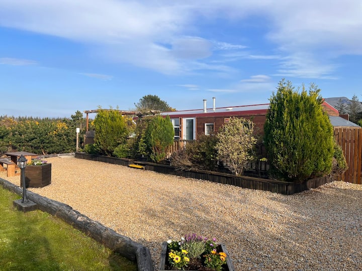 Enclosure in Skreeny (drumahaire By.)Enclosure · 634 yd
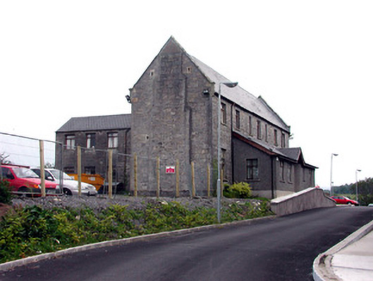 workhouseworkhouse · 1000 yd
 Saint Clare's Catholic Churchchurch/chapel · 1104 yd
 Giants RockNamed rock · 1.9 mi
 Kilroosk RockNamed rock · 2.1 mi
 The Giants GraveArchaeological place · 2.1 mi
 Ashisland WoodForest · 2.8 mi
 Saddle HillMountain / peak · 2.9 mi
 Dough MountainMountain / peak · 3.0 mi
 Longhill WoodForest · 3.1 mi
 Castle CarCastle · 3.7 mi