What is recorded here
Fairy forts are usually small, but Shanballymore Lower held a thirty-metre circle on a west-facing slope. Ploughing erased the banks, yet aerial shadow still reveals two rings and a central ditch. The land forgot the shape before people did.
In tillage, on W-facing slope. Depicted as hachured circular enclosure (diam. c. 30m) on 1842 OS 6-inch map. Levelled; no visible surface trace of site. Bivallate circular enclosure visible as cropmark of two banks, intervening fosse and external fosse in aerial photograph (CUCAP; AYP 89).
The above description is derived from the published 'Archaeological Inventory of County Cork. Volume 4: North Cork' (Dublin: Stationery Office, 2000). In certain instances the entries have been revised and updated in the light of recent research.
Date of upload/revision: 14 January 2009
The monument record does not grant public access. Check the route and ask the landowner before entering private land.
- What survives
- Recorded monument
Places near here
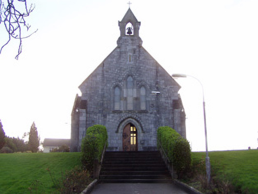 Church of Christ the Kingchurch/chapel · 379 yd
 Templeroan Church (in Ruins)Church · 469 yd
 Cist in Shanballymore UpperCist · 522 yd
 Shanballymore Castle (Site of)Castle, unclassified · 698 yd
 Ruane Castle (Site of)Castle, unclassified · 815 yd
 St Bernards WellHoly well · 889 yd
 Anne's Grove GardensHeritage attraction · 1.6 mi
 Horse Field WoodForest · 2.0 mi
 North Meadow WoodForest · 2.2 mi
 Flat cemetery in Ballyenahan NorthFlat cemetery · 3.3 mi
 Smith's WellSpring · 4.6 mi
 Graveyard in BoherashGraveyard · 5.6 mi