What is recorded here
Fairy fort in Sarue, County Cork: an oval earthen ring, 25.4m by 31.5m, with a 1.8m bank, shallow outside ditch, a possible second bank lost into fencing, and a man-made passage inside. It sits on a south-facing pasture slope, half-hidden by grass and use. The gap in the northeast bank suggests entry, not collapse; the passage suggests thought, not accident. People may have gone down there to hide, worship, or simply be away from sight.
In pasture, on S-facing slope. Oval area (25.4m N-S; 31.5m E-W) enclosed by earthen bank (H 1.8m); external fosse (D 0.4m) E->NW; possible outer bank ESE->NNW, incorporated into field fence system. Break (Wth 2.2m) in bank to NE. Man-made underground passage (CO134-020002-) in interior.
The above description is derived from the published 'Archaeological Inventory of County Cork. Volume 1: West Cork' (Dublin: Stationery Office, 1992). In certain instances the entries have been revised and updated in the light of recent research.
Date of upload/revision: 14 January 2009
The monument record does not grant public access. Check the route and ask the landowner before entering private land.
- What survives
- Recorded monument
Places near here
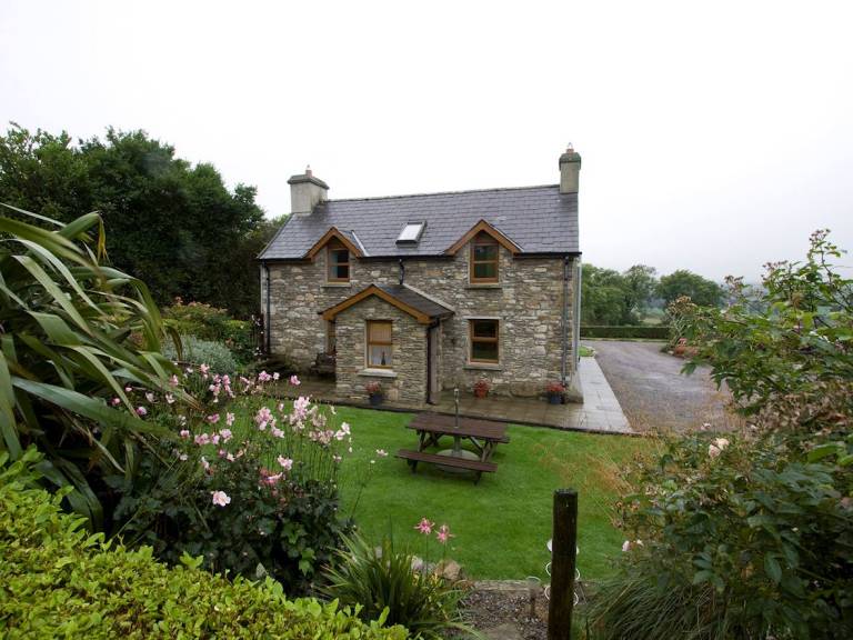 Man-made underground passage in SarueMan-made underground passage · 1 yd
 KilnKiln, lime · 1080 yd
 LisnafohanaFairy fort / earthen ringfort · 1295 yd
 Castleventry Church (in Ruins)Church · 1303 yd
 Jeremiah O'Donovan RossaMemorial · 1.4 mi
 Clasharusheen Mansion (Site of)Castle, unclassified · 2.4 mi
 Michael Collins BirthplaceHistoric birthplace · 2.4 mi
 Cross commemorating Holy Day.Memorial · 2.8 mi
 CarrigfaddaMountain / peak · 2.9 mi
 Castle SalemCastle · 3.1 mi
 The Warren DunesNature reserve · 4.8 mi
 Castle Freke WoodsForest · 4.8 mi