What is recorded here
Fairy fort in Rouryglen, County Cork: a 28-metre earthen ring on a west-facing slope, its bank still standing two metres high beneath pasture grass. The stones inside face north-east, as if someone built a room for weather rather than people. Local tradition calls it a fairy fort, which means the odds are the fairies are still arguing about the lease.
In pasture, on W-facing slope. Circular area (28m NNE-SSW; 26m NNW-SSE) defined by earthen bank (H 1.95m) WNW->S; scarp (H 1.1m) elsewhere. Bank heavily overgrown; stone-faced on inside to NNE.
The above description is derived from the published 'Archaeological Inventory of County Cork. Volume 1: West Cork' (Dublin: Stationery Office, 1992). In certain instances the entries have been revised and updated in the light of recent research.
Date of upload/revision: 14 January 2009
The monument record does not grant public access. Check the route and ask the landowner before entering private land.
- What survives
- Recorded monument
Places near here
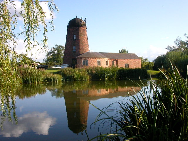 Roury Mill (Corn)Milling complex · 952 yd
 MillMill, fulling · 956 yd
 Roury Bridgebridge · 969 yd
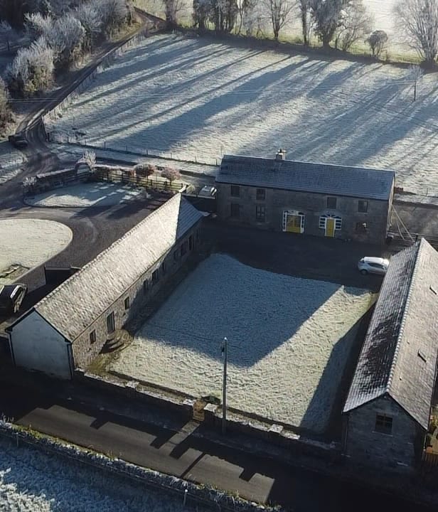 Burial ground in Kilbeg (carbery East (w.d) By.)Burial ground · 1071 yd
 Drombeg Stone CircleArchaeological place · 1.0 mi
 Drombeg Fulacht Fia and RuinsVisitor information · 1.0 mi
 Walk 1 - Drombeg Standing Stone Circle (7 - 9 km)Walking route · 1.1 mi
 Trá an tAonaighBeach / strand · 1.4 mi
 Castle SalemCastle · 1.6 mi
 Lookout over MillcoveViewpoint · 1.7 mi
 Prison CoveBeach / strand · 2.1 mi
 William Thompson MemorialMemorial · 2.2 mi