What is recorded here
Located on a slight E-facing slope in the valley of the N-S Corock River, with the meandering stream c. 160-220m to the E. The cropmark of a circular enclosure (diam. c. 45m) defined by a single continuous fosse and with one internal pit is visible on aerial photographs (MM (46) 18-20). A magnetic gradiometer survey (20R0129) over an extensive area confirmed the existence of the rath but with no significant internal features (Nicholls 2020, F 19, Figs 9, 22). However, an entrance gap (Wth c. 3m) at S was also detected.
See the enhanced view from Nicholls (2020, Fig. 9).
Compiled by: Michael Moore
Date of upload: 18 February, 2013
Amended: 30 December 2020
A fairy fort or earthen ringfort in Rosspile, likely dating to the early medieval period, is characterized by a circular enclosure (diameter c. 45m) defined by a single continuous fosse. Local tradition associates such sites with fairy folk, and they were often avoided due to beliefs in their supernatural inhabitants.
The monument record does not grant public access. Check the route and ask the landowner before entering private land.
- What survives
- Recorded monument
Places near here
 Field system in RosspileField system · 220 yd
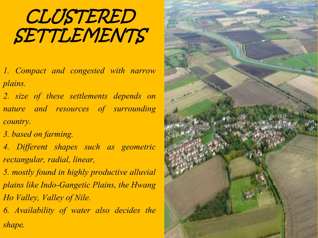 Settlement cluster in CoolcliffeSettlement cluster · 387 yd
 Coolcliffe HouseRuins · 681 yd
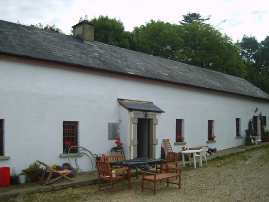 farm housefarm house · 1291 yd
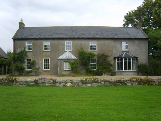 Dalton Cottagefarm house · 1698 yd
 CastleHouse, fortified house · 2.1 mi
 Bawn in Tracystown WestBawn · 2.2 mi
 Carrig-On-BannowVisitor information · 4.3 mi
 1798 MemorialMemorial · 4.3 mi
 Carrickbyrne HillMountain / peak · 5.1 mi
 Cullenstown StrandBeach / strand · 5.9 mi
 Saltmills Explosion MemorialMemorial · 6.0 mi