What is recorded here
Magic and myth may have inspired the name, but a ringfort is a human home. The fort at Rossanean is an earthen and stone ring on a west-facing slope in County Kerry. Its bank still stands about a metre high, a shallow ditch marks part of the edge, and a narrow entrance may have opened at the south. A field drain has cut through the northeast, and an ordinary farm boundary may reuse old fort material. The shape is still large enough to walk around and imagine lived inside.
In pasture, on a W-facing slope. A roughly subcircular area (42.1m E-W; 38.7m N-S) defined by an earth and stone bank (int. H 0.65m; ext. H 1.25m) E-NNE and by a NW-SE field drain which truncates the NE sector. A fosse (D 0.1m) is traceable E-NNE. There is a possible causeway entrance (Wth 1.6m) at S. The field boundary immediately outside the field drain may incorporate some original bank material. There is a possible hut site (KE048-092001-) in the N sector. (Castleisland District Archaeological Survey)
Compiled by: Elizabeth Byrne, Ursula Egan and Sheila Ronan, Archaeological Survey Unit, University College, Cork.
Date of upload: 31 January 2011
The monument record does not grant public access. Check the route and ask the landowner before entering private land.
- What survives
- Recorded monument
Places near here
 Enclosure in ReavaunEnclosure · 1361 yd
 LissabamarkyFairy fort / earthen ringfort · 1438 yd
 Gortshanavogh Br.Bridge · 1.4 mi
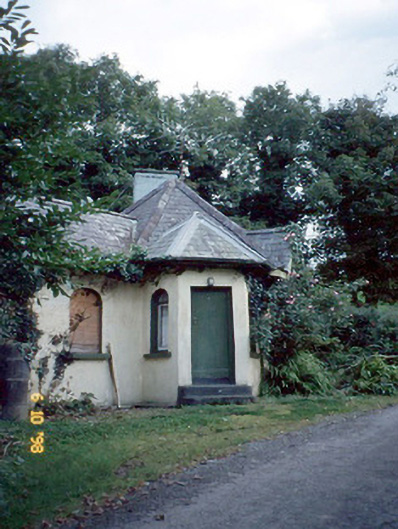 Dicksgrovegate lodge · 1.6 mi
 Site of Currans CastleCastle, unclassified · 3.4 mi
 Fieries CastleCastle · 3.4 mi
 Aghadoe Early Medieval Ecclesiastical SiteHeritage attraction · 5.5 mi
 Famine MemorialMemorial · 6.0 mi
 GinkgoGinkgo · 6.2 mi
 Kerry 2nd Brigade of the Irish Republican ArmyMemorial · 6.3 mi
 Circular WalkWalking route · 6.5 mi
 Giant SequoiaGiant Sequoia · 6.5 mi