What is recorded here
This is the record for the possible ringfort revealed by geophysical survey and archaeological testing by Charles Mount (93E0187) and Eoin Halpin (94E0033). The feature was not subsequently excavated as it lay outside the area for development. (see Eogan and O'Brien 2005)
Compiled by: Denis Power
Date of upload: 24 January 2013
The monument record does not grant public access. Check the route and ask the landowner before entering private land.
- What survives
- Recorded monument
Places near here
 Church (in Ruins)Church · 285 yd
 Rathdown Castle (in ruins)Castle, unclassified · 489 yd
 North BeachBeach / strand · 927 yd
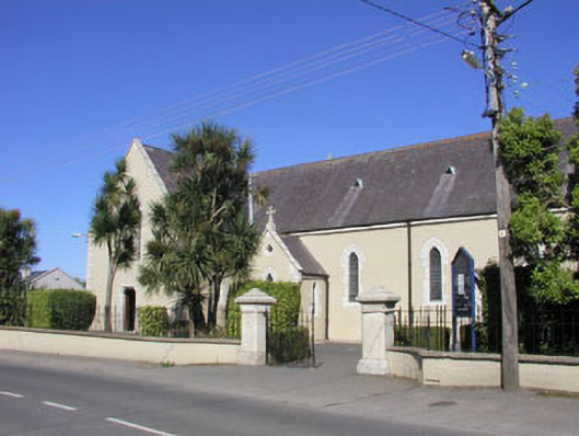 Saint Kilian's Catholic Churchchurch/chapel · 940 yd
 KnockrathFairy fort / ringfort · 1223 yd
 Greystones WayWalking route · 1428 yd
 The CoveBeach / strand · 1672 yd
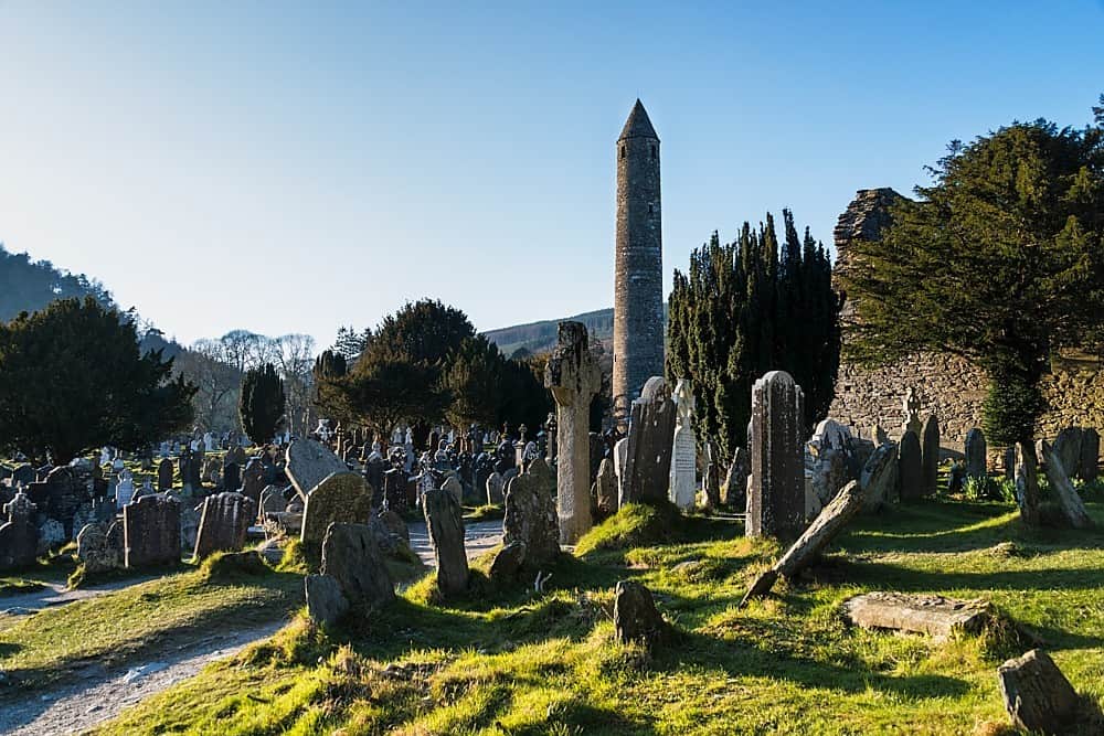 IndicatedHillfort · 1.0 mi
 Kindlestown WoodForest · 1.0 mi
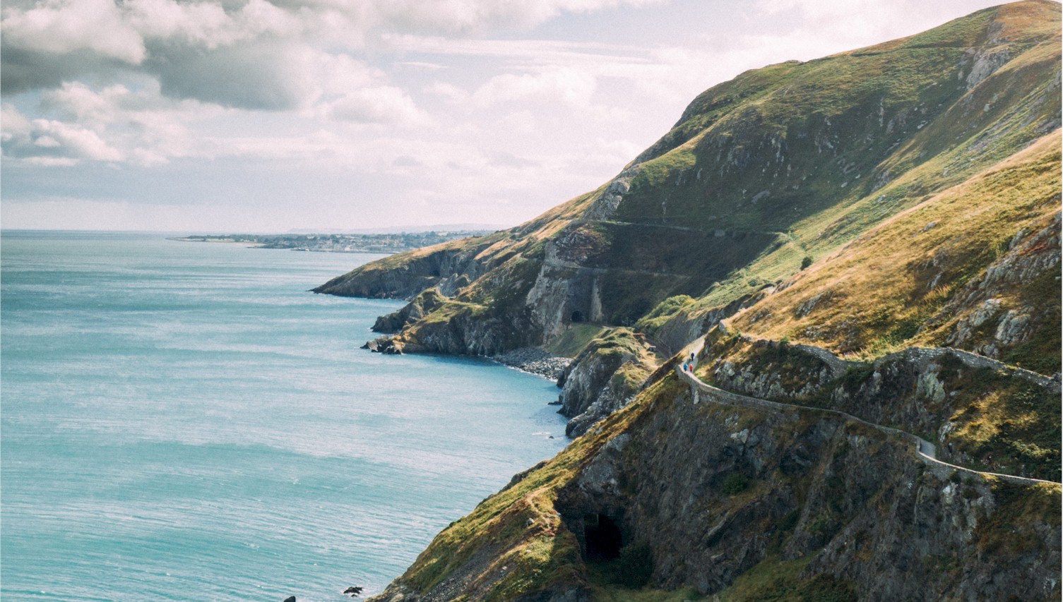 Bray Greystones Cliff WalkWalking route · 1.1 mi
 Kindlestown Castle (in ruins)Castle, hall-house · 1.2 mi
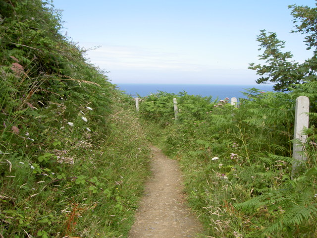 Bray Greystones ViewViewpoint · 1.3 mi