What is recorded here
In level pasture. A raised circular area (diam. 44.5m) enclosed by a partially denuded, low bank of earth and stone (Wth 4.1m; H 0.5m max.), which has been modified and incorporated into a field boundary from SSW–W-WNW. A wide, very shallow external fosse (Wth 5.7m; D 0.1m) is evident from SE–S–SSW. The rath is divided into unequal portions by a NE–SW field boundary. The smaller portion, to the NW, has been levelled but its outline is still identifiable. The original entrance is not recognisable.
Compiled by: Patrick F. O'Donovan
Date of upload: 17 January 2012
The monument record does not grant public access. Check the route and ask the landowner before entering private land.
- What survives
- Recorded monument
Places near here
 LF014-105---- : Ringfort - rath : OLDTOWNArchaeological place · 2 yd
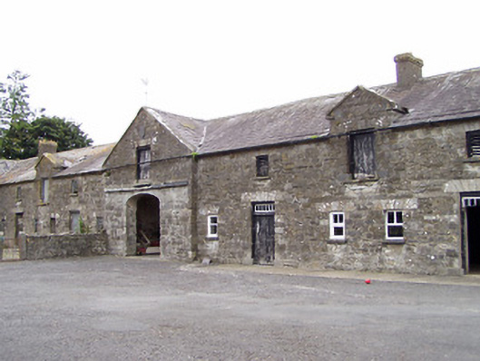 Oldtown Houseoutbuilding · 139 yd
 Oldtown DemesneForest · 223 yd
 Oldtown CopseWood · 247 yd
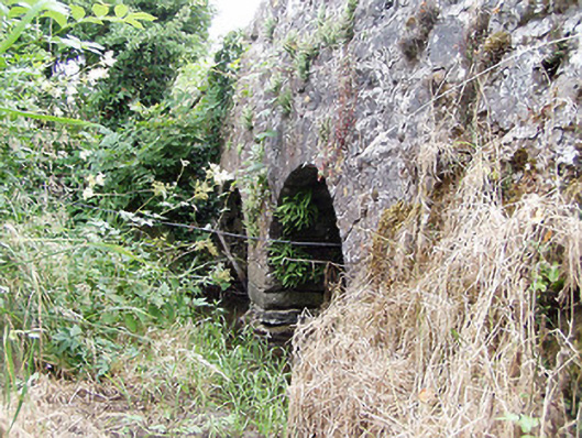 bridgebridge · 634 yd
 LF014-104---- : Ringfort - rath : OLDTOWNArchaeological place · 648 yd
 Bawn in LissardowlanBawn · 1.7 mi
 Ardagh DemesneFort · 1.7 mi
 National Famine WayWalking route · 3.7 mi
 Saint Mel's CathedralCathedral · 4.7 mi
 First World War MemorialMemorial · 4.7 mi
 Graveyard in Curry (ardagh By., Coolamber Ed)Graveyard · 5.1 mi