What is recorded here
Visible on aerial photographs (ACAP V206/3,4), and situated on a gently undulating landscape. Circular grass-covered area (diam. 43m E-W; 41.7m N-S) defined by a slight scarp (H 0.2m) NW-E-S, which merges into the slope elsewhere. Rath (RO022-109----) is c. 100m to the W. Archaeological testing (06E0981) c. 60m to the NE failed to produce any related archaeological material, (Carey 2009b). Archaeological testing (13E0278) on an extensive area (dims c. 180m N-S; c. 90-130m NW-SE) located c. 140m to the S produced no related material (Crumlish 2013).
Compiled by: Michael Moore
Date of upload: 24 August 2010
The monument record does not grant public access. Check the route and ask the landowner before entering private land.
- What survives
- Recorded monument
Places near here
 IndicatedFairy fort / stone ringfort · 616 yd
 AbbeyReligious house, Dominican friars · 646 yd
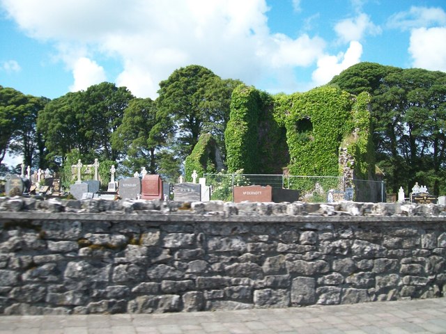 Grave YardGraveyard · 670 yd
 Cruachan Aí Heritage CentreMuseum · 670 yd
 CastleCastle, unclassified · 692 yd
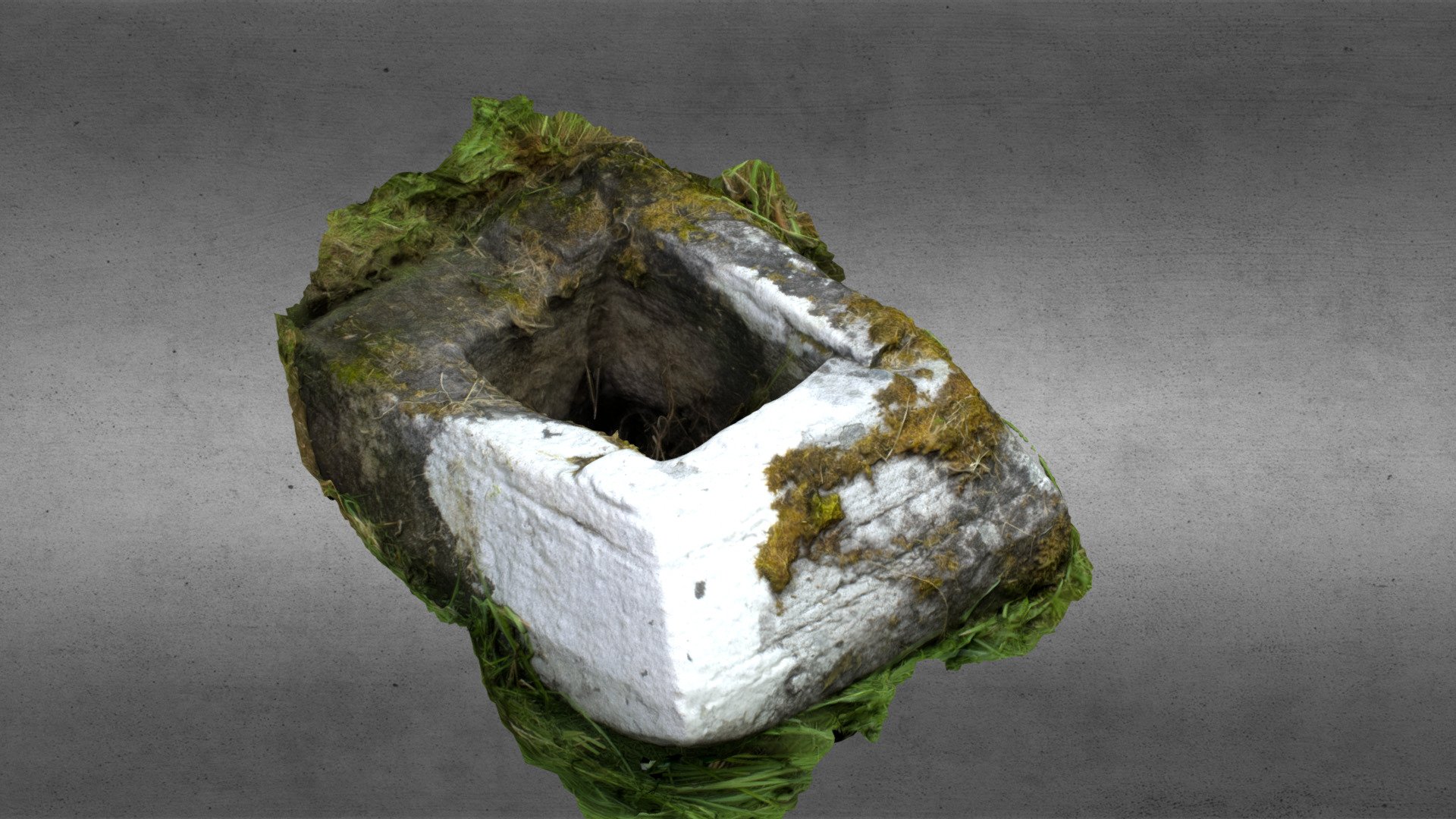 Church in OgullaChurch · 873 yd
 ToberagullaSpring · 947 yd
 European ashEuropean ash · 951 yd
 CastlerubyCastle, unclassified · 2.3 mi
 War of Independence Commemorative Military MemorialMemorial · 4.6 mi
 Sweet ChestnutSweet Chestnut · 6.6 mi
 Silver IslandIslet · 8.3 mi