What is recorded here
Fairyhill lost its ringfort when people quarried the small gravel rises, erasing the boundary Taylor mapped in 1783. The fort did not fade; it was taken for road, wall or garden. What remains is a absent circle in Kildare pasture, a hole in the memory of the field.
Shown as a circular 'Rath' on Taylor's 1783 Map of County Kildare, but not recorded on any ed. of the OS 6-inch map. In gently undulating pasture. According to local tradition, the area of the site was known as 'Fairyhill' and comprised 'small gravel rises' which were quarried away, leaving no visible surface trace of the monument (SMR file).
Compiled by: Gearóid Conroy
Date of upload: 10 June 2011
A fairy fort or earthen ringfort in Newtown, likely dating to the early medieval period, is marked as a "Rath" on Taylor's 1783 map of County Kildare but absent from later Ordnance Survey maps. Local tradition refers to the site as "Fairyhil," suggesting a long-standing association with folklore surrounding fairies or supernatural beings.
The monument record does not grant public access. Check the route and ask the landowner before entering private land.
- What survives
- Recorded monument
Places near here
 Church in Rathangan (rathangan Ed)Church · 714 yd
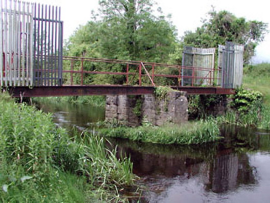 foot bridgefoot bridge · 986 yd
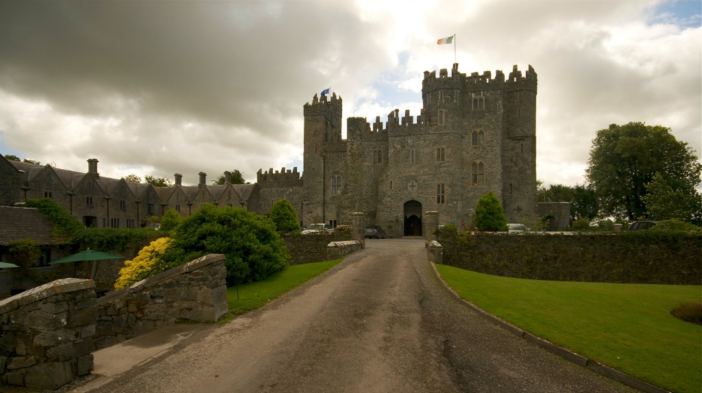 Enclosure in KillyguireEnclosure · 1051 yd
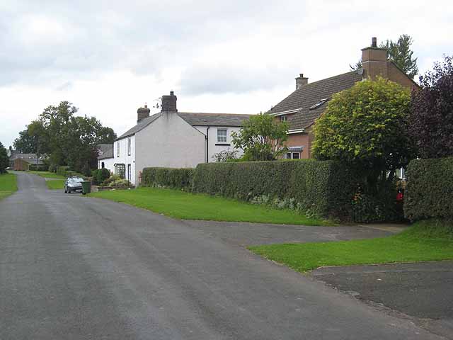 Enclosure in Newtown (killinthomas Ed)Enclosure · 1108 yd
 Bithia Mary CrokerMemorial · 1669 yd
 Killinthomas Wood (Rathangan)Wood · 1.2 mi
 Site of CastleCastle, tower house · 1.2 mi
 Community OrchardNature reserve · 1.2 mi
 Offaly CastleCastle, tower house · 2.0 mi
 The Fairy BowerHeritage attraction · 3.0 mi
 Lullymore Heritage ParkHeritage attraction · 3.0 mi
 Sli na Slainte - mapVisitor information · 4.9 mi