What is recorded here
Munlough South held a ringfort on a low hill slope, visible only as a fading arc of earth before ploughs and progress erased the rest. The fort appeared on the 1836 map and vanished from later ones, suggesting the land itself forgot the boundary between human history and fairy tale. What remains is a ghost of a circle, neither fully buried nor fully gone, waiting for someone to imagine the life that once turned within its walls.
Marked 'Fort' on OS 1836 ed. Not marked on subsequent eds. Site has been largely levelled leaving only an arc of low bank visible, running from NW-NNE. Situated on the slope of a low hill.
The above description is derived from the published 'Archaeological Inventory of County Cavan' (Dublin: Stationery Office, 1995). In certain instances the entries have been revised and updated in the light of recent research.
Date of upload/revision: 22 December 2008
A fairy fort or earthen ringfort in Munlough South, likely dating to the early medieval period, is indicated by its appearance on the 1836 Ordnance Survey map and its siting on a low hill slope. Local tradition associates such sites with fairy lore, and the partially visible arc of a low bank suggests it may have once been a defended homestead or ritual site.
The monument record does not grant public access. Check the route and ask the landowner before entering private land.
- What survives
- Recorded monument
Places near here
 LissanoverCastle, unclassified · 993 yd
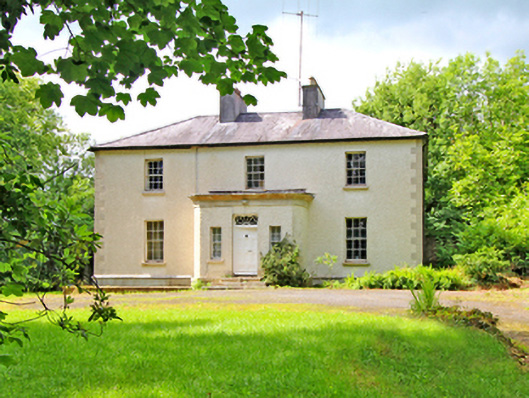 Corvillecountry house · 1106 yd
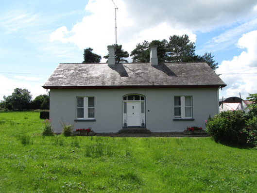 Mountain Viewhouse · 1130 yd
 Enclosure in CorEnclosure · 1660 yd
 Killycluggin StoneVisitor information · 1.0 mi
 Clontycarnaghan Wet WoodlandWood · 1.3 mi
 Tober PatrickHoly well · 1.5 mi
 Corrasmongan ForestForest · 1.5 mi
 Saint Mogue's IslandIslet · 1.6 mi
 Bellaheady MountainMountain / peak · 2.1 mi
 BallynamaddooMountain / peak · 2.2 mi
 Giants GraveArchaeological place · 2.2 mi