What is recorded here
Fairy fort in Moyleen, County Galway: an oval earthen ringfort on a south-facing hillock, measured in 1983 at roughly thirty-five by thirty metres before later leveling erased its bank. It may have been a farmhouse defensible in seconds, a neighbourly trap for raiders, or a child's fort made serious by rain. The earth remembers shape longer than people remember names.
On the S-facing slope of a hillock. On inspection in April 1983 this poorly preserved oval rath (c. 35m NE-SW; c. 30m NW-SE) was defined by an earthen bank (base Wth 5.7m; int. H 0.8m; ext. H 0.5m). The current OSi aerial imagery (Google maps) indicated that it was subsequently leveled.
Compiled by: Galway Archaeological Survey, UCG
Date of upload: 18 April 2019
The monument record does not grant public access. Check the route and ask the landowner before entering private land.
- What survives
- Recorded monument
Places near here
 CaneArchaeological place · 624 yd
 Field system in CarnField system · 801 yd
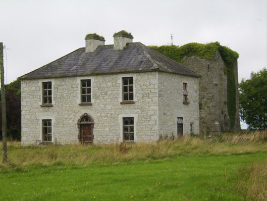 Ballybroder Househouse · 1367 yd
 Church (in ruins)Church · 1721 yd
 Drought Castle (in Ruins)Castle, tower house · 1.9 mi
 Ballygasty Castle in ruinsCastle, unclassified · 2.0 mi
 Dartfield Horse MuseumHeritage attraction · 2.1 mi
 Bush IslandIslet · 2.2 mi
 Middle IslandIslet · 2.2 mi
 Long PointHeadland · 2.3 mi
 Turoe StoneHeritage attraction · 3.6 mi
 Quarryhill WoodWood · 7.9 mi