What is recorded here
In pasture, on ESE-facing slope. Circular area (39.8m N-S; 39.3m E-W) enclosed by earthen bank (int. H 1m; ext. H 1.7m) with external fosse (D 1m; Wth 2.35m). Fosse becomes very shallow ENE->WSW and is barely perceptible SE->SW. Field boundaries abut outer edge of fosse at WSW and SE. Gap in bank at ENE (Wth 1.85m) has been worn down by cattle accessing interior. Interior, under rough pasture, slopes down very gently to E. Mature deciduous trees grow along top of bank and along verge of interior.
Compiled by: Denis Power
Date of upload: 26 August 2011
The monument record does not grant public access. Check the route and ask the landowner before entering private land.
- What survives
- Recorded monument
Places near here
 Glenduff CastleCastle, tower house · 1448 yd
 IndicatedFairy fort / earthen ringfort · 1.1 mi
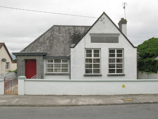 Broadford Carnegie Librarylibrary/archive · 1.3 mi
 Killagholehane Church (in ruins)Church · 1.3 mi
 BarrowBarrow, ring-barrow · 2.1 mi
 Castle (in ruins), Springfield CastleCastle, tower house · 2.2 mi
 Mullaghareirk - Banane LoopWalking route · 2.7 mi
 Ballagh MountainMountain / peak · 3.6 mi
 Saint Ite's WellSpring · 4.0 mi
 National Co-op MuseumMuseum · 4.2 mi
 ToberhoranSpring · 4.3 mi
 Rock HillMountain / peak · 5.0 mi