What is recorded here
Mornane holds a twenty-five-metre earthen ring on a limestone ridge, buried beneath thorns that turn every step into a wound. The bank rises barely seventy centimetres outside but drops into a shallow interior, suggesting people once shaped the land before forgetting it. Boulders dumped on the south edge mark human clumsiness or anger, while the thicket preserves the shape from further meddling. The fort does not need explanation; it keeps its own boundary and waits for patience.
In rough pasture, on W edge of limestone ridge. Roughly circular area (diam. c. 25m) enclosed by earth-and-stone bank (int. H 0.2m; ext. H 0.7m) S->W and defined by scarped edge (H 1.15m; Wth 5.5m) ENE->S. Enclosing element is obscured by dense overgrowth of thorn bushes W->ENE. Interior, covered by dense thicket of thorn bushes, appears to rise up gently towards centre. Boulders have been dumped atop bank at S.
Compiled by: Denis Power
Date of upload: 26 August 2011
See attached ASI aerial photographs ASIAP – taken on 04/03/2006.
The monument record does not grant public access. Check the route and ask the landowner before entering private land.
- What survives
- Recorded monument
Places near here
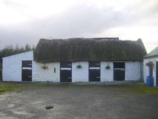 stablesstables · 1751 yd
 Enclosure in Ballyengland LowerEnclosure · 1.0 mi
 Killeen Ch (in ruins)Church · 1.1 mi
 Dotted outlineChildren's burial ground · 1.1 mi
 CastleCastle, tower house · 1.7 mi
 European YewEuropean Yew · 2.1 mi
 Stonehall Visitor FarmHeritage attraction · 2.1 mi
 Curraghchase Forest ParkForest · 2.2 mi
 Bawn in Castletown (kenry By.)Bawn · 2.2 mi
 Sweet ChestnutSweet Chestnut · 3.7 mi
 Courtbrown PointHeadland · 3.8 mi
 Greenish IslandIslet · 3.8 mi