What is recorded here
Mornane holds a forty-metre earthen ring on a limestone slope, its broken bank still catching the light beneath dense briars. People called it a fairy fort because the shape defied ordinary use, yet the exposed stone foundations suggest human hands built it before forgetting claimed the name. The earth has eaten most of the wall, but the circle remains clear enough to walk.
In pasture, on gentle W-facing slope, immediately below top of hillock, in area of outcropping limestone. Sub-circular area (diam. c. 40m) enclosed by earth-and-stone bank (int. H 0.75m; ext. H 0.75m) which is masked by dense overgrowth. Bank is heavily eroded and littered with loose stones, both inside and outside. These may be remains of collapsed dry-stone wall, foundations of which is evident atop bank at N. Boulders and field clearance debris have been dumped atop bank at NE and elsewhere around circumference. Interior, covered by dense thicket of briars except for small clearing in SE quadrant, dips down gently towards centre.
Compiled by: Denis Power
Date of upload: 26 August 2011
The monument record does not grant public access. Check the route and ask the landowner before entering private land.
- What survives
- Recorded monument
Places near here
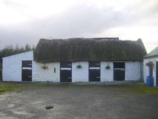 stablesstables · 1407 yd
 Enclosure in Ballyengland LowerEnclosure · 1447 yd
 Killeen Ch (in ruins)Church · 1.2 mi
 Dotted outlineChildren's burial ground · 1.2 mi
 CastleCastle, tower house · 1.8 mi
 European YewEuropean Yew · 2.1 mi
 Curraghchase Forest ParkForest · 2.2 mi
 Stonehall Visitor FarmHeritage attraction · 2.2 mi
 Bawn in Castletown (kenry By.)Bawn · 2.4 mi
 Courtbrown PointHeadland · 3.7 mi
 Holly IslandIslet · 3.7 mi
 Greenish IslandIslet · 3.7 mi