What is recorded here
On gentle ESE-facing slope. Monument, depicted on 1841 OS 6-inch map as embanked circular enclosure (diam. c. 30m), has been levelled and dwelling house, sheds and garden now occupy site. A slightly curved earth-and-stone bank (H 1.15m; Wth 2m; C 30.5m) forming N boundary of property may be part of, or overlie part of, enclosing element.
Compiled by: Denis Power
Date of upload: 26 August 2011
The monument record does not grant public access. Check the route and ask the landowner before entering private land.
- What survives
- Recorded monument
Places near here
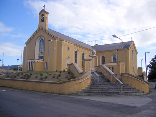 Saint Senan's Catholic Churchchurch/chapel · 337 yd
 Elm Villehouse · 686 yd
 Enclosure in ParkmoreEnclosure · 1171 yd
 Holy well in Shanagolden DemesneHoly well · 1295 yd
 Site of CastleCastle, unclassified · 1.1 mi
 CastleCastle, unclassified · 1.3 mi
 Foynes Flying Boat & Maritime MuseumMuseum · 3.1 mi
 Foynes Island ViewpointViewpoint · 3.3 mi
 Gammarel PointHeadland · 3.5 mi
 Monterey CypressMonterey Cypress · 3.8 mi
 Foynes IslandIsland · 3.9 mi
 Battery PointHeadland · 4.0 mi