What is recorded here
Fairy fort in Monataggart, County Cork: a 100-foot earthen ring, partly eroded, partly rebuilt, still holding its shape in pasture. It appeared on maps in 1842, 1903 and 1938, which means people kept seeing it as worth marking long before archaeology gave it a name. A ringfort is not a vague heap; it is a boundary drawn in soil, likely for residence, storage or exclusion. The fairy label does not dismiss that fact, it translates it: the place still feels like a threshold rather than a ruin.
In pasture. Depicted as hachured circular enclosure (diam. c. 35m) on 1842, 1903 and 1938 OS 6-inch maps. According to Hartnett (1939, 204), single rampart (diam. 100ft) eroded on W and NW side; interior planted with trees. Short section of bank survives at E side; part of 'ring' reconstructed by landowner at S side. Silage pit occupies part of interior.
The above description is derived from the published 'Archaeological Inventory of County Cork. Volume 3: Mid Cork' (Dublin: Stationery Office, 1997). In certain instances the entries have been revised and updated in the light of recent research.
Date of upload/revision: 14 January 2009
The monument record does not grant public access. Check the route and ask the landowner before entering private land.
- What survives
- Recorded monument
Places near here
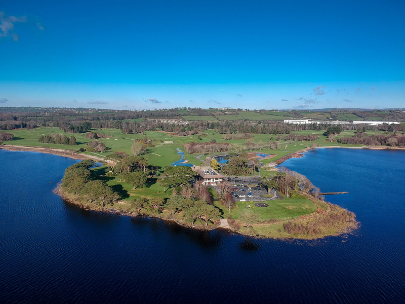 Fulacht fia in KilleenleighFulacht fia · 250 yd
 Fulachta FiadhFulacht fia · 1056 yd
 Saint Bartholomew's WellSpring · 1163 yd
 Dripsey Bridge (Lower)Bridge · 1354 yd
 church/chapelchurch/chapel · 1.4 mi
 Oldcastle WoodWood · 1.9 mi
 New TipperaryVisitor information · 2.2 mi
 Carrignamuck Tower HouseCastle · 3.2 mi
 Ballyvodane Castle (in Ruins)Castle, unclassified · 3.9 mi
 Mullinhassig WoodWood · 4.1 mi
 Mullinhassig WaterfallWaterfall · 4.1 mi
 Knockduff Wind FarmVisitor information · 4.9 mi