What is recorded here
In gently undulating pasture. This is the southernmost of a group of three ringforts with a second ringfort (TS058-017001-) located 10m to the NE and a third (TS058-017003-) 10m to the NW. Circular raised area (diam. 16m) defined by a low broad earthen bank (overall Wth 3.9m; Wth at top 1.2m; int. H 0.1m; ext. H 0.4m) with an external broad flat-bottomed fosse (overall Wth 4.5m; Wth at base 3m; D 0.1m). The bank is best preserved NW-NE being very low and barely visible elsewhere where the site is defined by a scarp (H 0.3m). The fosse is best preserved NW-NE being very shallow and barely visible elsewhere. A broad shallow NW-SE orientated linear fosse (L 10m; overall Wth 8m; D 0.2m) extents from the fosse of the ringfort at NW linking to the fosse of the neighbouring ringfort (TS058-017003-) to the NW. The original entrance is not recognisable. The interior is level and clear of overgrowth with bushes growing along the top of the bank E-NW.
Compiled by: Jean Farrelly
Date of upload: 26 August 2011
The monument record does not grant public access. Check the route and ask the landowner before entering private land.
- What survives
- Recorded monument
Places near here
 CastleCastle, ringwork · 560 yd
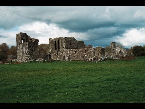 Earthwork in Ballybeg (coonagh By.)Earthwork · 1026 yd
 Enclosure in KnockphelaghEnclosure · 1436 yd
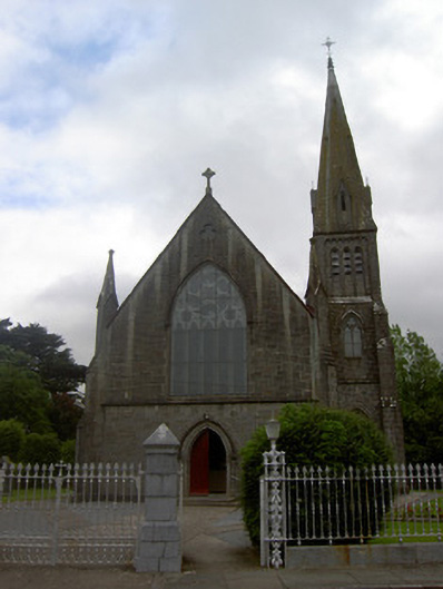 Saint Nicholas's Catholic Churchchurch/chapel · 1.1 mi
 Church in Ballyryan WestChurch · 1.1 mi
 Oola Castle (in ruins)Castle, tower house · 1.2 mi
 Oola HillMountain / peak · 1.6 mi
 The Maid of ErinMemorial · 4.3 mi
 ToberagaddySpring · 5.4 mi
 European ashEuropean ash · 5.6 mi
 St. Patrick's WellSpring · 7.8 mi
 Kilteely HillMountain / peak · 8.0 mi