What is recorded here
In very flat terrain, under grass with some natural hillocks to NE. Stream runs along W side of monument, it appears to be channelised. Ringfort (TS077-040----) situated c. 270m to NE, not visible due to hedgerow. Monument appears to have been partially levelled. Roughly oval enclosure (diam. 51m N-S; 61m E-W) defined by an inner bank (Wth 3.2m crest, 6m base; int. H 0.41m; ext. H 0.78m); fosse (Wth 2.4m; D 0.42m); outer bank (Wth 2.1m crest, 4.4m base; ext. H 0.44m); outer fosse (Wth 1.9m; D 0.19m) and counterscarp. In some places there is an indication of a third bank, particularly at the entrance in the SE quadrant. Entrance (Wth 6.6m) with causeway over the inner and outer fosse. Interior has internal division in NE quadrant. In the NNE quadrant the outer bank and counterscarp are levelled and a field boundary runs from W to N concentrically with NW quadrant, in places probably utilising the outer bank. The outer bank and counterscarp reappear in the SSW sector. In the N quadrant the inner bank is denuded for a length of 6m. SE of the ringfort there is a possible hollow-way (Wth 3.5m; L c. 80m) defined by a bank to N (Wth 2.4m crest, 8.6m base; int. H 0.51m; ext. H 0.44m) and to S (Wth 1.6m crest; 3.4m base; int. H 0.37m; ext. H 0.17m), though the latter bank is quite denuded in places. This possible roadway runs E-W and at its closest is 8m S of the ringfort. This field is depicted on the OS 6-inch map as being liable to flood and it is obvious from other channels in the field that a lot of drainage work has been carried out. This feature may be part of this drainage activity.
Compiled by: Jean Farrelly
Date of upload: 26 August 2011
The monument record does not grant public access. Check the route and ask the landowner before entering private land.
- What survives
- Recorded monument
Places near here
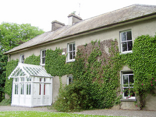 Kilmore Househouse · 547 yd
 Enclosure in Kilmore (lisronagh Par.)Enclosure · 643 yd
 Milltown Househouse · 1034 yd
 Enclosure in MullenarankyEnclosure · 1240 yd
 Persian WalnutPersian Walnut · 1.0 mi
 Site of Carrigeen CastleCastle, unclassified · 1.1 mi
 Castle (in ruins)Castle, unclassified · 1.9 mi
 Common LimeCommon Lime · 2.3 mi
 CarrickbrockMountain / peak · 2.8 mi
 CarrigdotiaMountain / peak · 3.2 mi
 RetrospectMemorial · 4.1 mi
 Charles BianconiMemorial · 4.1 mi