What is recorded here
Fairy fort in Meenahony, County Cork: a 36 m earthen ring on a steep grass slope above the Shournagh River, marked on maps since 1842. By July 1983 drainage and works had levelled it, erasing the very shape that made it a fort. What remains is a absent circle: a place whose boundary is remembered only through the loss of its edge.
In rough grazing, on NE-facing slope, overlooking Shournagh River. Hachured as circular enclosure on 1842 and 1939 OS 6-inch maps. Circular area (diam. 36m) defined on upslope by fosse and on downslope by scarp. Partially damaged due to ongoing drainage. Levelled in July 1983, prior to visit by OPW.
The above description is derived from the published 'Archaeological Inventory of County Cork. Volume 3: Mid Cork' (Dublin: Stationery Office, 1997). In certain instances the entries have been revised and updated in the light of recent research.
Date of upload/revision: 14 January 2009
The monument record does not grant public access. Check the route and ask the landowner before entering private land.
- What survives
- Recorded monument
Places near here
 Fulacht fia in Kilmartin UpperFulacht fia · 930 yd
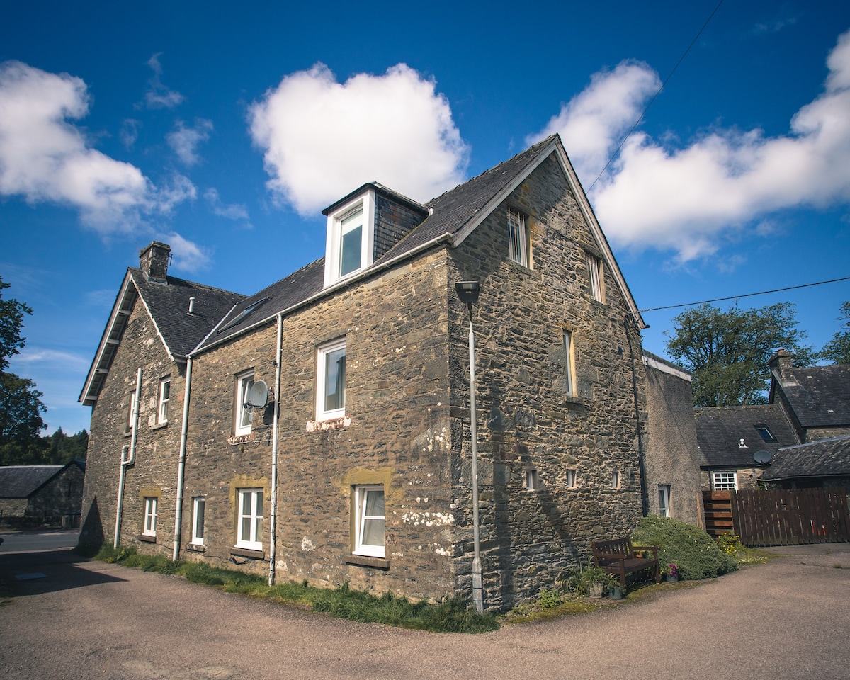 Cist in Kilmartin UpperCist · 1434 yd
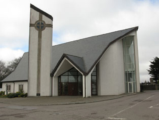 church/chapelchurch/chapel · 1.4 mi
 monumentmonument · 1.5 mi
 Knockduff Wind FarmVisitor information · 1.5 mi
 Saint Bartholomew's WellSpring · 1.9 mi
 New TipperaryVisitor information · 2.0 mi
 Bweeng LittleMountain / peak · 4.1 mi
 Oldcastle WoodWood · 4.2 mi
 Knockcraugh HillMountain / peak · 4.3 mi
 Ballyvodane Castle (in Ruins)Castle, unclassified · 4.6 mi
 Black WoodWood · 7.2 mi