What is recorded here
Maytown holds a vanished fairy fort, a circular earthen ring now absent from the pasture. It once measured thirty-four metres across with a tall bank and shallow ditch, inviting people into its causewayed entrance. The earth has taken back what it borrowed, erasing the fort from human sight while leaving behind the memory of a place shaped for living.
In pasture, on level ground. Circular area (34m N-S; 34m E-W) enclosed by earthen bank (H 1.6m); external fosse (D 0.4m) NE->NW. Entrance (Wth 6m) to SSE, with causeway. Aerial photograph (Dr. D.D.C. Pochin Mould), March 1990 shows site levelled.
The above description is derived from the published 'Archaeological Inventory of County Cork. Volume 2: East and South Cork' (Dublin: Stationery Office, 1994). In certain instances the entries have been revised and updated in the light of recent research.
Date of upload/revision: 14 January 2009
A fairy fort / earthen ringfort in Maytown is a circular early-medieval defensive or agricultural enclosure, likely dating to between the 5th and 10th centuries AD. Local folklore often associates such sites with supernatural beings, and they were traditionally known as "fairy forts," believed to be the homes of the fairies or ancient spirits.
The monument record does not grant public access. Check the route and ask the landowner before entering private land.
- What survives
- Recorded monument
Places near here
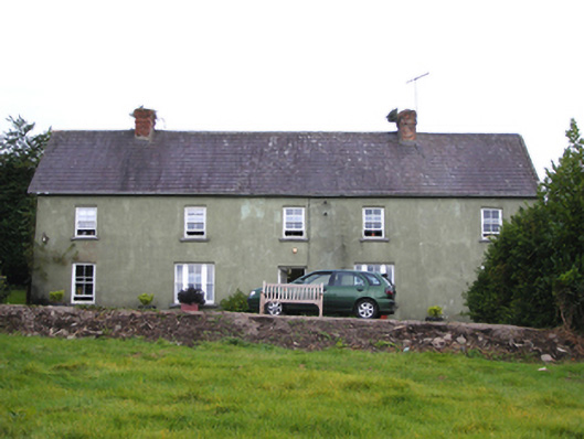 Snugboroughfarm house · 758 yd
 SunvilleCountry house · 801 yd
 Enclosure in MaytownEnclosure · 1395 yd
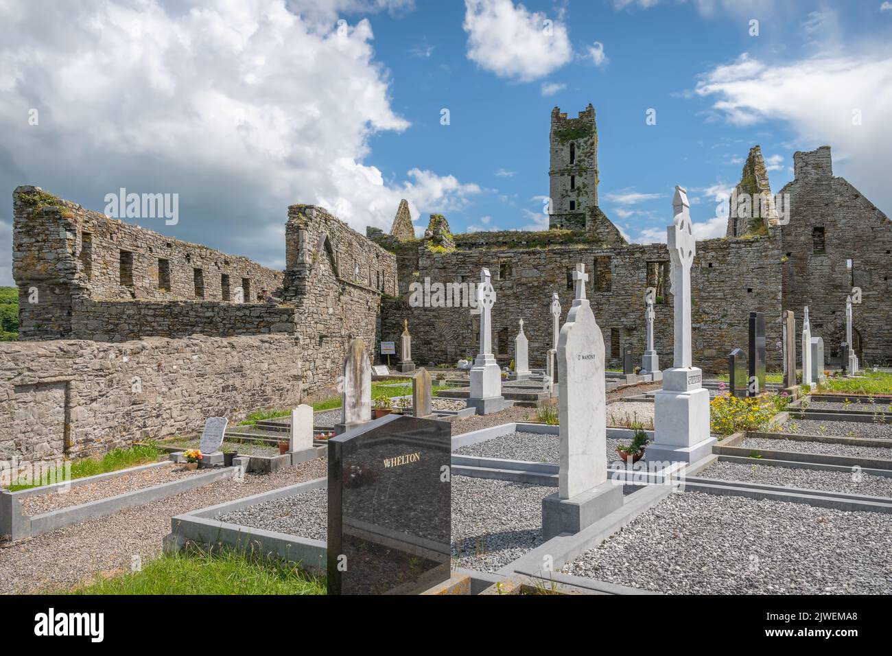 Grave Yard (Site of)Burial ground · 1746 yd
 Mary StandfordMemorial · 2.3 mi
 P.N.L.B. Mary StandfordWreck · 2.3 mi
 CastleCastle, tower house · 2.4 mi
 Ballycotton Island (Small)Islet · 2.7 mi
 Ballycroneen BeachBeach / strand · 2.8 mi
 Garryvoe BeachBeach / strand · 2.8 mi
 Ballycotton IslandIslet · 3.2 mi
 Garryvoe Castle (in Ruins)Castle, tower house · 3.7 mi