What is recorded here
Mauricetown holds a broken fairy fort where a public road cut through ancient earth. Cattle still push through the thin bank, dragging marsh grass and forgetting the shape beneath their hooves. The thorn trees along the rim mark how long the field has stopped taking the circle seriously.
In pasture, on gentle NE-facing slope. Circular area (31.1m NW-SE) enclosed by earthen bank (int. H 0.6m; ext. H 1.1m) E->NNW but truncated by public road NNW->E; distance from enclosing element at SW to road at NE is 28m. Bank has mature thorn trees growing along it and has been denuded in places by cattle accessing interior. Gap (Wth c. 1.8m) at SE probably cattle break. Interior, under marshy pasture, slopes down gently to NE.
Compiled by: Denis Power
Date of upload: 26 August 2011
The monument record does not grant public access. Check the route and ask the landowner before entering private land.
- What survives
- Recorded monument
Places near here
 post boxpost box · 1222 yd
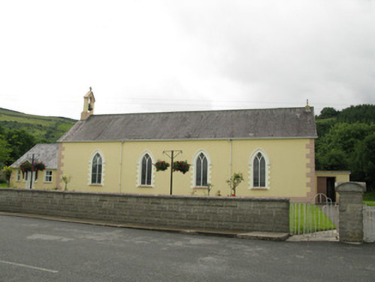 Saint Ita's Catholic Churchchurch/chapel · 1253 yd
 IndicatedFairy fort / earthen ringfort · 1.0 mi
 Mass-rock in GortnaclohyMass-rock · 1.1 mi
 Glenduff CastleCastle, tower house · 1.3 mi
 Ballagh MountainMountain / peak · 1.6 mi
 Saint Ite's WellSpring · 2.2 mi
 Dotted outlineBawn · 2.3 mi
 Mullaghareirk - Banane LoopWalking route · 2.9 mi
 Rock HillMountain / peak · 3.9 mi
 ToberhoranSpring · 5.3 mi
 Limerick GreenwayWalking route · 8.1 mi