What is recorded here
Fairy fort in Lisselane, County Cork: a 36-metre earthen ring on a north-facing pasture slope, with a central underground passage and banks so overgrown they seem to have grown back on purpose. The interior was raised against the hillslope, suggesting people shaped the ground rather than merely marking it. Local tradition may call it a fairy fort, but the measured bank, fosse and hidden passage point to human hands making a small defensible world on the edge of a sharp rise.
In pasture on N-facing slope, above sharp rise to N and E. Circular area (36m N-S; 36m E-W) enclosed by earthen bank (H 2.2m); external fosse visible W->N (D 0.9m); possible second and third low earthen banks S->W. Banks heavily overgrown. Interior raised on N side to compensate for hillslope. Man-made underground passage (CO122-086002-) in centre.
The above description is derived from the published 'Archaeological Inventory of County Cork. Volume 1: West Cork' (Dublin: Stationery Office, 1992). In certain instances the entries have been revised and updated in the light of recent research.
Date of upload/revision: 14 January 2009
The monument record does not grant public access. Check the route and ask the landowner before entering private land.
- What survives
- Recorded monument
Places near here
 Lisselan Golf Clubworker's house · 186 yd
 Lisselan Housegates/railings/walls · 206 yd
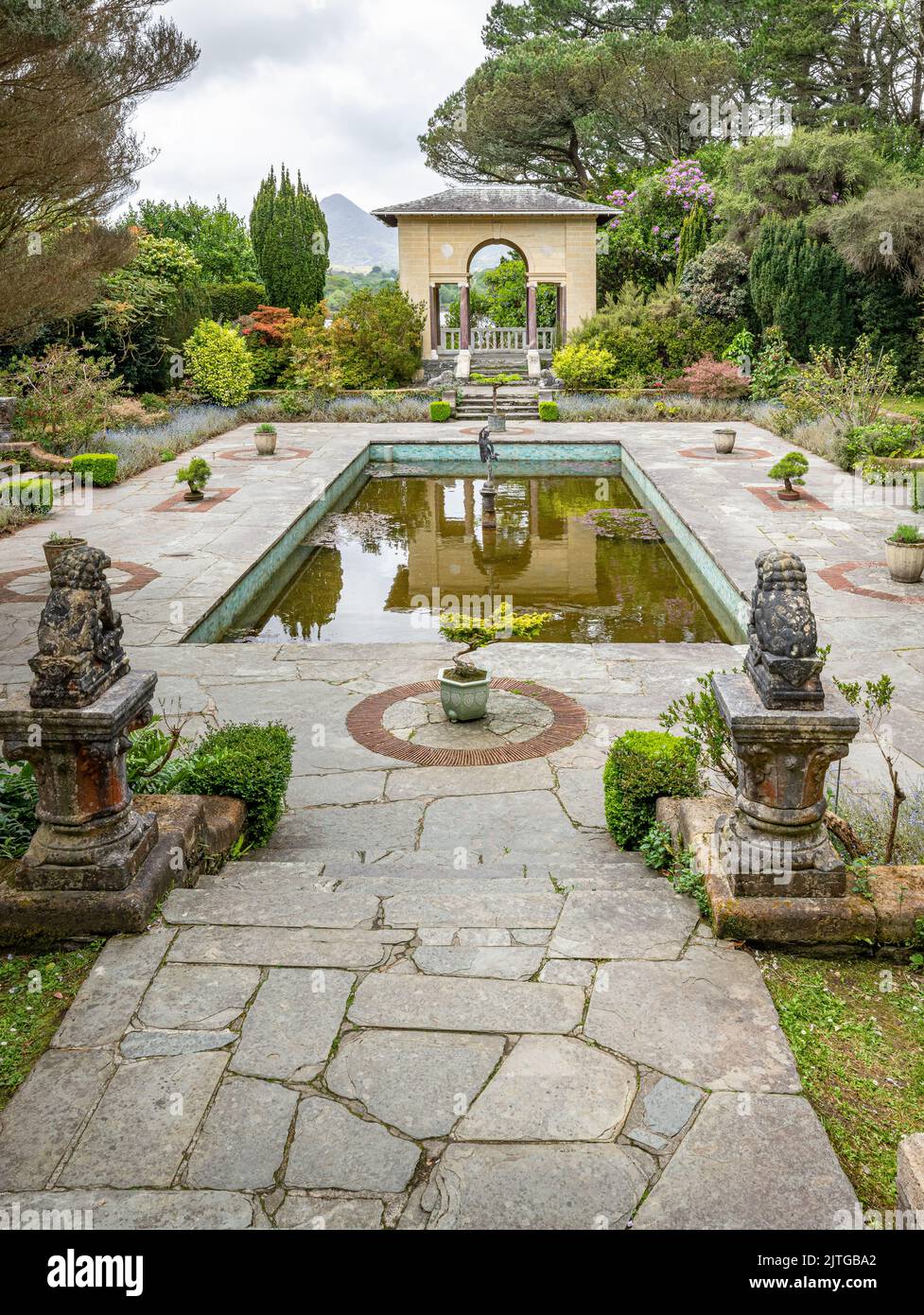 Garden WoodWood · 618 yd
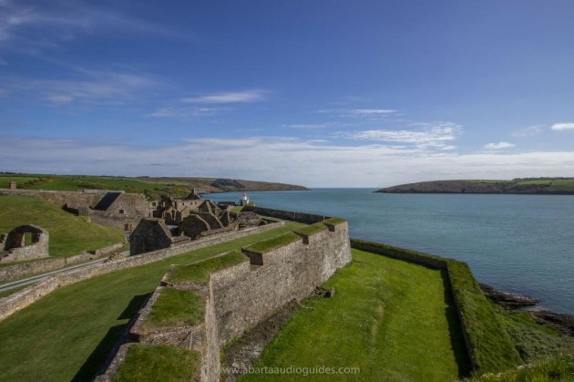 Gortnakilly FortFairy fort / earthen ringfort · 634 yd
 Fulacht fia in Carrig (carbery East (e.d.) By., Kilmaloda Par.)Fulacht fia · 715 yd
 Ballinoroher CastleCastle · 1677 yd
 Battle of the Big Cross (1798) Memorial MonumentMonument · 1.0 mi
 Michael Collins CentreMuseum · 1.5 mi
 English hollyEnglish holly · 1.7 mi
 Graveyard in KilmalodaGraveyard · 1.7 mi
 Monteen Castle (in Ruins)Castle, tower house · 1.7 mi
 Clonakilty Tourist OfficeVisitor information · 2.7 mi