What is recorded here
Ancestral hands built Lissananny's rath on a grassy rise, enclosing a pond that still holds the sky. The earth bank has surrendered much of its shape to time and rainfall, leaving only a faint southern curve beside a modern ditch. Yet the pond remains, a liquid mirror inside the forgotten wall, suggesting the fort was never empty but filled with water and life.
On a rise in otherwise low-lying grassland. Very poorly preserved originally subcircular rath (E-W c. 35m) defined by a degraded bank from ESE through S to W, outside of which runs a modern ditch. No visible surface trace survives elsewhere. There is a large pond within the interior.
The above description is derived from the published 'Archaeological Inventory of County Galway Vol. II - North Galway'. Compiled by Olive Alcock, Kathy de hÓra and Paul Gosling (Dublin: Stationery Office, 1999).
Date of upload: 05 August 2010
The monument record does not grant public access. Check the route and ask the landowner before entering private land.
- What survives
- Recorded monument
Places near here
 Enclosure in LissanannyEnclosure · 868 yd
 Enclosure in UrraclyEnclosure · 1293 yd
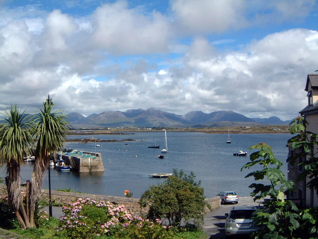 Quarry in BelmontQuarry · 1.1 mi
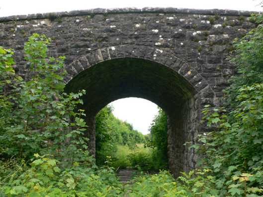 bridgebridge · 1.1 mi
 CastleCastle, tower house · 1.5 mi
 Bawn in BlindwellBawn · 1.7 mi
 European YewEuropean Yew · 4.3 mi
 European ashEuropean ash · 4.4 mi
 Mass RockNamed rock · 4.5 mi
 Ross Errilly FriaryHeritage attraction · 10 mi
 Inis Mhic an TrírIsland · 14 mi
 Otter IslandIslet · 14 mi