What is recorded here
No visible entrance or ditch, only a low earthen ridge circling thirty-five metres of pasture. The fort has been partially levelled, yet its round shape still holds on a slight rise above the fields. It is not a showpiece or a complete ruin. It is a faded local mark, waiting for someone to walk its edge and imagine the life that disappeared beneath the grass.
On a low rise in pasture. This rath has been partially levelled. Extant remains comprise a circular area (diam. c. 35m) defined by a scarp (H 0.9-1.45m). There is no trace of a fosse and the original entrance is not recognisable.
See attached Drone images courtesy of Donnacha Mc Gregor.
Compiled by: Patrick F. O'Donovan
Date of upload: 26 August 2011
This remains an important historical record, but the official description says the monument is no longer visible or has been destroyed. The monument record does not grant public access. Check the route and ask the landowner before entering private land.
- What survives
- No visible remains or recorded as destroyed
Places near here
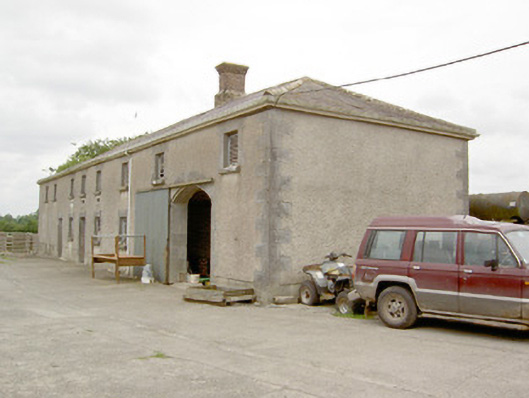 Lismoy Houseoutbuilding · 405 yd
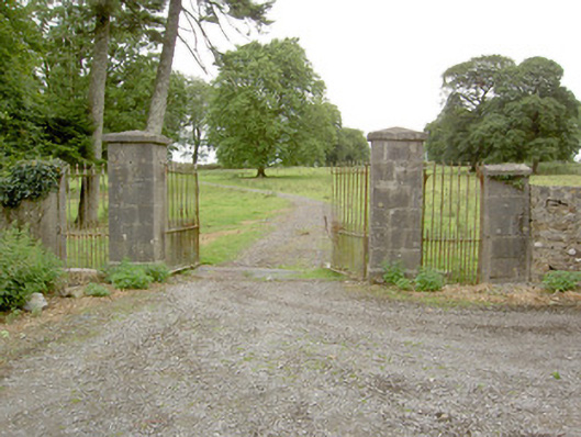 Saint Anne's Rectorygates/railings/walls · 1008 yd
 Common LimeCommon Lime · 1.1 mi
 Pedunculate OakPedunculate Oak · 1.1 mi
 Enclosure in MinardEnclosure · 1.2 mi
 CastleforbesCastle · 1.4 mi
 Bawn in Castleforbes DemesneBawn · 1.5 mi
 Enclosure in LismoreEnclosure · 1.6 mi
 Saint Mel's CathedralCathedral · 2.8 mi
 First World War MemorialMemorial · 2.9 mi
 Graveyard in Curry (ardagh By., Coolamber Ed)Graveyard · 5.3 mi
 Commons North WalkVisitor information · 9.7 mi