What is recorded here
Quarrying has bitten into the west half of the Lismanny ringfort, but the eastern scarp still stands guard on its hillock. The missing southern ditch suggests the earth itself forgot that boundary, yet the surviving field banks prove the circle once cut through ordinary pasture. A thirty-two-metre home for forgotten neighbours still wears its ancient shape, half-swallowed by the ground that consumed it.
On a hillock in undulating pastureland. Poorly preserved circular rath (diam. 32m) defined by a
scarp and external fosse; no visible surface trace of the latter survives from SE through S to SW. Field banks abut the enclosing elements at N and E. Quarrying has encroached upon the W half of the monument.
Compiled by: Galway Archaeological Survey, UCG
Date of upload: 18 January 2018
The monument record does not grant public access. Check the route and ask the landowner before entering private land.
- What survives
- Recorded monument
Places near here
 Caldragh FortEcclesiastical enclosure · 810 yd
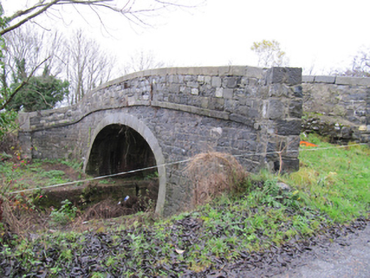 Lismanny Bridgebridge · 934 yd
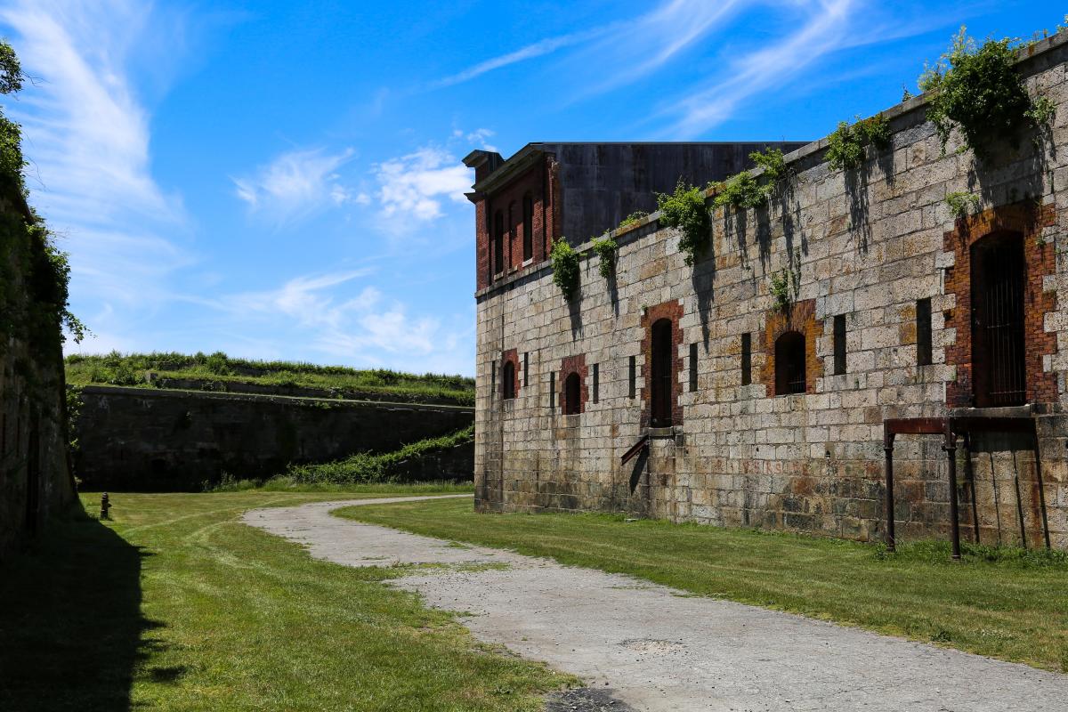 Bastioned fort in Cloonascragh (longford By.)Bastioned fort · 1247 yd
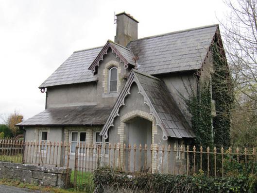 Lismanny Housegate lodge · 1477 yd
 Oghil Castle (in ruins)Castle, tower house · 1.5 mi
 Ardcarn IslandsIslet · 2.3 mi
 Silver FirSilver Fir · 2.8 mi
 Ballymore CastleCastle, tower house · 2.8 mi
 European BeechEuropean Beech · 3.1 mi
 Redmond HillMountain / peak · 3.6 mi
 Sugarloaf HillMountain / peak · 4.2 mi
 Clonfert CathedralHeritage attraction · 5.3 mi