What is recorded here
Internal diameter 31m N-S
On the 1841-42 OS map this possible circular univallate rath is in a large pastoral field. On the later edition the field has been divided into narrow strips and the E side has been cut by a fieldbank. Today, it consists of a semi-circular area enclosed by a barely distinguishable, low, wide earthen bank. The NE through E to SE sector has been completely levelled; elsewhere the external height of the bank measures .5m and the internal height .4m. The interior is at a slightly lower level than the surrounding land.
The above description is derived from C. Toal, ‘North Kerry Archaeological Survey’. Dingle. Brandon in association with FAS Training and Employment Authority (1995), no. 191. In certain instances the entries have been revised and updated in the light of recent research.
Date of upload: 2 August 2013
The monument record does not grant public access. Check the route and ask the landowner before entering private land.
- What survives
- Recorded monument
Places near here
 LislaughtinArchaeological place · 303 yd
 Lislaughtin Abbey (in ruins)Religious house, Franciscan friars · 567 yd
 Ecclesiastical site in LislaughtinEcclesiastical site · 590 yd
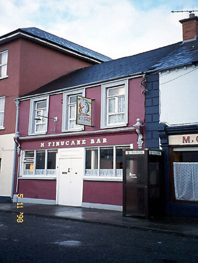 M. Finucanehouse · 1095 yd
 Siege of Carrigafoyle Castlesiege · 1.6 mi
 Carrigafoyle CastleCastle · 1.6 mi
 Carrigafoyle Cas. (in ruins)Castle, tower house · 1.6 mi
 Carrig IslandIsland · 2.0 mi
 Ballymacrinan BayBay · 4.1 mi
 Fawley's PointHeadland · 4.5 mi
 Scattery IslandIsland · 4.6 mi
 Scattery Island Visitor CentreVisitor information · 4.7 mi