What is recorded here
Marked only on the 1914 ed. of the OS 6-inch map as an arc of hachures (C c. 40m) N-E-S, and situated on a steep W-facing slope overlooking Grange Lough, c. 700m distant. Described in 1966 as an arc of an earthen bank and outer fosse (dim. c. 40m) N-E-S (SMR file). It is now a circular, dished and grass-covered area (diam. 38m E-W) defined by a slight scarp (H c. 0.3m) SW-NW and a scarp down to the interior (H 0.6m) NE-SE (upslope). The N limits cannot be traced and the perimeter at S is truncated by an E-W field bank.
Compiled by: Michael Moore
Date of upload: 24 August 2010
The monument record does not grant public access. Check the route and ask the landowner before entering private land.
- What survives
- Recorded monument
Places near here
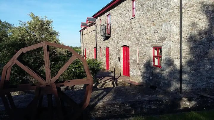 IndicatedFairy fort / earthen ringfort · 622 yd
 Goat IslandIslet · 1192 yd
 Garrymond IslandIslet · 1515 yd
 Embanked enclosureFairy fort / earthen ringfort · 1.0 mi
 Coarse IslandForest · 1.4 mi
 Church in Glebe (ballintober North By., Kilglass North Ed)Church · 1.8 mi
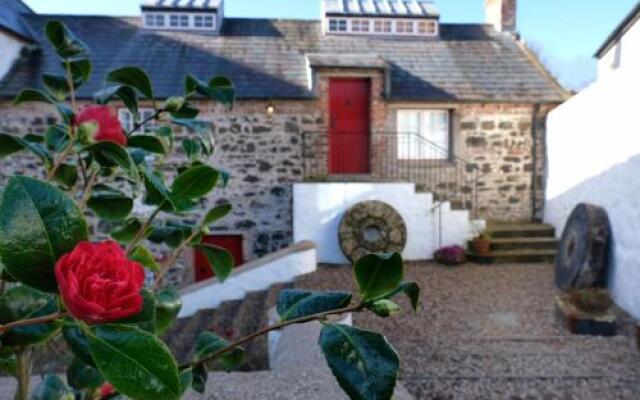 Old Corn KilnKiln, corn-drying · 2.0 mi
 Site of Dangan CastleCastle, unclassified · 3.4 mi
 Cavan & Leitrim RailwayMuseum · 3.5 mi
 Mullinashee WoodForest · 4.3 mi
 CastleCastle, unclassified · 4.8 mi
 Tom Dunphy MemorialMemorial · 5.0 mi