What is recorded here
Lackendarragh North holds a broken earthen ring where human hands first shaped the land. Folk called it a fairy fort, but fairy forts are usually human forts older than memory. The field fence now cuts through its bank, and that much is visible. What is missing is the life that built it, defended it, abandoned it and stopped naming it.
In tillage, on W-facing slope. Slightly raised circular area (28.5m N-S; 27.3m E-W) enclosed by earthen bank (H 1.1m) N->ESE; low scarp elsewhere (max. H 0.75m). Bank incorporated into field fence system and stone faced in parts. (GSAP)
The above description is derived from the published 'Archaeological Inventory of County Cork. Volume 2: East and South Cork' (Dublin: Stationery Office, 1994). In certain instances the entries have been revised and updated in the light of recent research.
Date of upload/revision: 14 January 2009
The monument record does not grant public access. Check the route and ask the landowner before entering private land.
- What survives
- Recorded monument
Places near here
 Fulacht fia in Moanlahan (barrymore By.)Fulacht fia · 1.6 mi
 Doonpeter Holy WellArchaeological place · 1.8 mi
 Liam BurkeMemorial · 2.1 mi
 Coom Bridgebridge · 2.2 mi
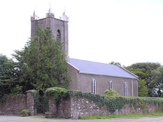 Saint Mary's Church of Ireland Churchchurch/chapel · 2.3 mi
 Graveyard in GlenvilleGraveyard · 2.3 mi
 SeefinMountain / peak · 2.3 mi
 Knocknaskagh North TopMountain / peak · 2.6 mi
 Castle Blagh (Site of)Castle, unclassified · 3.2 mi
 Cappagh XViewpoint · 3.5 mi
 Priest's WoodForest · 3.8 mi
 Johnson's WoodForest · 3.8 mi