What is recorded here
In pasture, on NW-facing slope. Circular area (24.8m N-S) enclosed by earthen bank (int. H 1m; ext. H 1.7m), with external fosse (D 0.4m; Wth 2.25m) NW->N and NE->SE; fosse truncated on W side by recently constructed pathway. Enclosing element is covered NE->SE by dense overgrowth of bushes; bank has suffered extensive root damage. Interior level and under grass in W half but E half densely overgrown with bushes.
Compiled by: Denis Power
Date of upload: 26 August 2011
The monument record does not grant public access. Check the route and ask the landowner before entering private land.
- What survives
- Recorded monument
Places near here
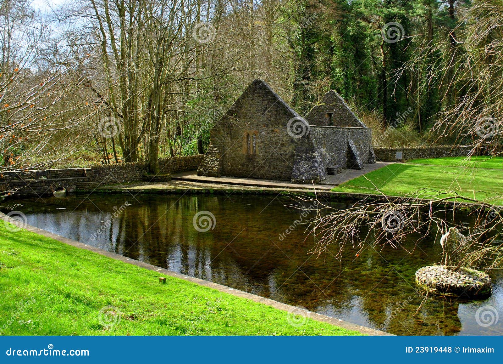 St. Patricks WellHoly well · 370 yd
 St. Patricks Church (in ruins)Church · 505 yd
 Grave YardGraveyard · 508 yd
 RoadRoad, road/trackway · 1203 yd
 Foynes Flying Boat & Maritime MuseumMuseum · 1.5 mi
 Foynes Island ViewpointViewpoint · 1.6 mi
 Robertstown Castle (in ruins)Castle, tower house · 1.7 mi
 Monterey CypressMonterey Cypress · 1.9 mi
 Gammarel PointHeadland · 2.0 mi
 Foynes IslandIsland · 2.1 mi
 Battery PointHeadland · 2.2 mi
 Castle (Site of)Castle, unclassified · 2.3 mi