What is recorded here
Knocknaneirk holds a fifty-metre earthen ring on a ridge above a steep stream valley, with causewayed gaps and a low central rise that may hide an underground passage. People called it a fairy fort, perhaps because the earth itself seems to breathe beneath the grass. A human hand may have shaped that hidden chamber, yet the site still belongs to mystery and memory.
In pasture, on ridge of high ground above SW-facing slope; steep fall to S, short distance beyond site, down stream valley. Circular area (51.5m E-W; 51m N-S) defined by earthen bank (int. H 1m); external fosse (D 1m); low counterscarp bank E->SSW. Breaks in bank to ENE (Wth 4m) and SW (Wth 5m); causewayed. Low rise crosses centre of interior on N-S axis; possible Man-made underground passage (CO083-090002-).
The above description is derived from the published 'Archaeological Inventory of County Cork. Volume 3: Mid Cork' (Dublin: Stationery Office, 1997). In certain instances the entries have been revised and updated in the light of recent research.
Date of upload/revision: 14 January 2009
The monument record does not grant public access. Check the route and ask the landowner before entering private land.
- What survives
- Recorded monument
Places near here
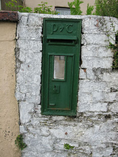 post boxpost box · 495 yd
 Hornhill Millmill (water) · 640 yd
 Knockaneirk Stone CircleArchaeological place · 1266 yd
 Fulacht FianFulacht fia · 1.2 mi
 Green HillMountain / peak · 1.4 mi
 Kilmurry WoodsPicnic place · 1.6 mi
 Independence MuseumMuseum · 1.8 mi
 Priest MemorialMemorial · 1.9 mi
 Michael Collins MemorialMemorial · 1.9 mi
 Summerhouse WoodForest · 2.0 mi
 Andrew's WoodWood · 2.3 mi
 Clodah CastleCastle · 2.9 mi