What is recorded here
Kilnagross holds a broken fairy fort where a field bank cuts through the ancient circle. The wet fosse and earthen bank still mark a place people shaped before the land was divided.
Located towards the top of the S-facing slope of a drumlin. This is a grass and rush-covered circular platform (diam. c. 26m N-S; c. 26m E-W; H 0.3m) defined by a wet, flat-bottomed fosse (Wth of base 2.15m; D 0.25m) and an external earthen bank (Wth 4.1m; H 0.35m), with a second external rush-filled fosse (Wth 2m; D 0.2m). The original entrance is not identified (max. ext. diam. c. 44m). It is bisected by a NW-SE field bank and hedge and another field bank runs SW from this bank.
The above description is derived from 'The Archaeological Inventory of County Leitrim' compiled by Michael J. Moore (Dublin: Stationery Office, 2003). In certain instances the entries have been revised and updated in the light of recent research.
Date of upload: 23 September 2008
The monument record does not grant public access. Check the route and ask the landowner before entering private land.
- What survives
- Recorded monument
Places near here
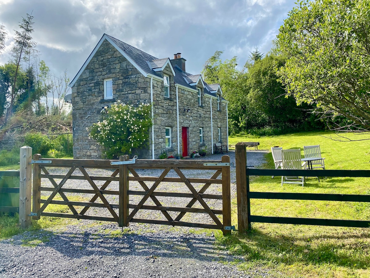 Enclosure in Gortanure NorthEnclosure · 1604 yd
 IndicatedFairy fort / earthen ringfort · 1720 yd
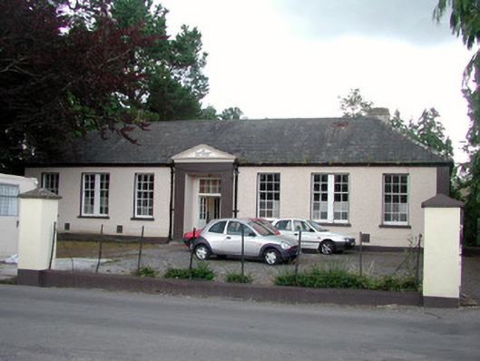 Keshcarrigan Vocational Schoolcollege · 1.8 mi
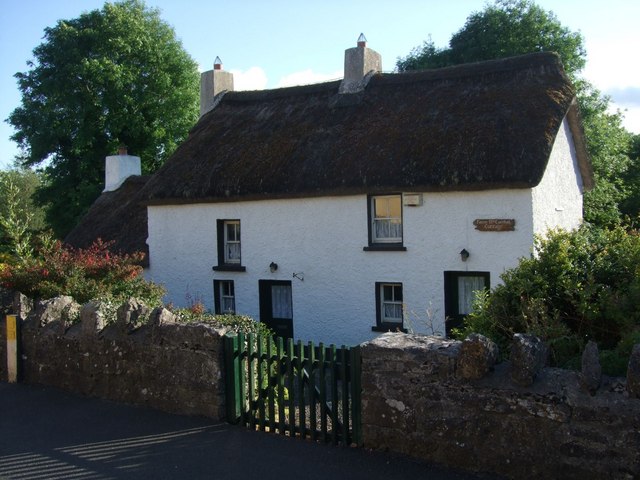 Fionn McCumhail Cottagehouse · 1.9 mi
 Sheemore Ambush MemorialMonument · 2.2 mi
 Castle JohnCastle · 2.3 mi
 Whiskey IslandIslet · 2.4 mi
 Otter IslandIsland · 2.5 mi
 Leabaidh DermotCave · 2.6 mi
 CastleforeCastle, tower house · 3.3 mi
 Shannon-Erne WaterwayVisitor information · 4.4 mi
 Declaration of IndependenceMemorial · 4.8 mi