What is recorded here
Marianne raced ahead on the black road, her shadow stretching long behind her. She reached the fort before dusk, breathless and certain the distance had narrowed for her alone. The chamber waited without light, its walls marked by hands that had touched more than stone. She returned home changed, carrying a clarity that no human tongue could name.
Located on a small knoll. It is indicated as a small D-shaped enclosure truncated by field banks at NW and NE on the 1835 edition of the OS 6-inch map where it is described as a 'fort'. This is a grass and rush-covered D-shaped area (dims 22m NW-SE; 19m NE-SW) defined by a scarp (max. H 0.8m at SE) SE-W-NW. The monument is truncated by a NE-SW field bank at N and a NW-SE field bank at E.
The above description is derived from 'The Archaeological Inventory of County Leitrim' compiled by Michael J. Moore (Dublin: Stationery Office, 2003). In certain instances the entries have been revised and updated in the light of recent research.
Date of upload: 23 September 2008
The monument record does not grant public access. Check the route and ask the landowner before entering private land.
- What survives
- Recorded monument
Places near here
 Green IslandIslet · 795 yd
 Enclosure in KilcoosyEnclosure · 1499 yd
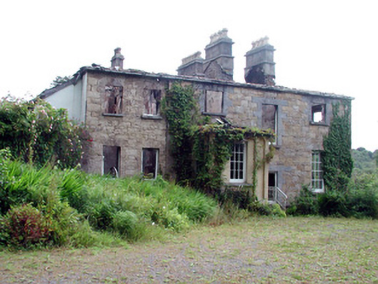 Drumlease Glebe Houserectory/glebe/vicarage/curate's house · 1595 yd
 IndicatedFairy fort / stone ringfort · 1662 yd
 Kilcoosey National Schoolschool · 1.4 mi
 Old HallCastle, hall-house · 1.7 mi
 Doonbran Isd.Bawn · 2.7 mi
 Cullentra ForestForest · 3.0 mi
 Parke's CastleHeritage attraction · 3.1 mi
 BenboMountain / peak · 3.4 mi
 Trawane BayBay · 3.5 mi
 InnisfreeIslet · 3.6 mi