What is recorded here
No one knows when the fort was built, but it is still there under the soil in Irishtown, a round shadow in the field where the land remembers being shaped. Perhaps children ran around it at sunset, or women carried water past its ditch, or it sat empty for centuries while the town changed names above it. The fort does not need a date to be real. It is a round place in a flat country, waiting for someone to walk its edge and admit that memory can exist without proof.
Situated on a level landscape. The cropmark of a circular enclosure (int. diam. c. 40-42m) defined by a fosse (Wth c. 2-3m) is visible on Apple Maps which utilises a survey conducted by Bluesky International during June 2018. There is a ring-ditch (ME028-091002-) (int. diam. c. 8m) in the NW quadrant. It was first reported by Matthew Mullen-Reynolds, but was also identified by Noel Meehan.
See the attached enhanced view from Apple Maps
Compiled by: Michael Moore
Date of upload; 7 February 2020
The monument record does not grant public access. Check the route and ask the landowner before entering private land.
- What survives
- Recorded monument
Places near here
 St. Peter's Chapel MoymurthyArchaeological place · 196 yd
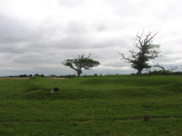 ChapelChurch · 196 yd
 Holy well in Irishtown (duleek Upper By., Moorechurch Par.)Holy well · 804 yd
 Ben HeadCliff · 851 yd
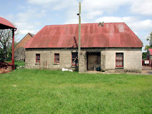 farm housefarm house · 1658 yd
 SycamoreSycamore · 1.2 mi
 Gormanston CastleCastle · 1.4 mi
 European YewEuropean Yew · 1.4 mi
 Ballygarth CastleCastle · 1.9 mi
 Battle of Julianstownbattle · 2.2 mi
 Clonard SpringSpring · 3.4 mi
 Balbriggan Tourist OfficeVisitor information · 3.8 mi