What is recorded here
Located towards the top of the S-facing slope of a W-E spur. This is depicted as a small circular embanked enclosure (ext. diam. c. 25m) on the 1836 edition of the OS 6-inch map where it is described as a ‘Fort’ and as a larger hachured feature (diam. c. 50-55m) on the 1908 edition. It was described in 1968 (SMR file) as a circular area (diam. 55m N-S; 51m E-W) that slopes down to the N (H 1.4m) which is defined by a slight bank (Wth 6-9m; int. H 0.12-0.5m; ext. H 0.5m at SSW to 1.2m at NNW) and a shallow fosse (at SSW: Wth of top 8m; ext. D 0.5m). The perimeter is incorporated into a field bank and townland boundary with Starinagh SW-NW, and it might have had an entrance at ESE. It can be seen as a subcircular cropmark enclosure (dims c. 60m N-S; c. 50m E-W) defined by a single fosse on OSI images (1995, 2000) and on Google Earth (21/07/2021).
See the attached enhanced view from Google Earth (21/07/2021)
The above description is derived from the published 'Archaeological Inventory of County Meath' (Dublin: Stationery Office, 1987). In certain instances the entries have been revised and updated in the light of recent research.
Compiled by: Michael Moore
Date of upload: 10 July 2007
Amended: 3 August 2022, 15 December 2022
The monument record does not grant public access. Check the route and ask the landowner before entering private land.
- What survives
- Recorded monument
Places near here
 Irish Military Museum And ParkMuseum · 826 yd
 Hurcle HillMountain / peak · 948 yd
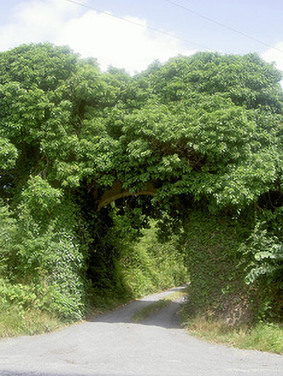 Monasterboice Housedemesne walls/gates/railings · 1068 yd
 Pedunculate OakPedunculate Oak · 1235 yd
 Drummond TowerCastle · 1377 yd
 European ashEuropean ash · 1.1 mi
 St. Bernards ChapelChurch · 1.1 mi
 Mellifont AbbeyHeritage attraction · 1.2 mi
 Enclosure in BarabonaEnclosure · 1.4 mi
 BarabonaMountain / peak · 1.5 mi
 Settlement cluster in CollonSettlement cluster · 1.6 mi
 Proudfootstown CastleCastle, unclassified · 3.3 mi