What is recorded here
Thirty-two metres of wet earth circle the southern slopes of Croaghskearda, holding a hidden chamber and a forgotten stone mound within its dense green grip. The fairies never left, though humans keep digging drains through their walls to save their own cattle from the flood.
Internal diam. 32.5m
A roughly circular bivallate rath (KE044-076----) situated in poorly-drained pastureland on the S slopes of Croaghskearda. A clochaun (KE044-076001-) and Man-made underground passage (KE044-076002-) have been recorded in the interior. The 2 enclosing banks and fosses are densely overgrown, and the outer fosse and W half of the inner fosse have been converted into drains in an attempt to drain the surrounding land; the E portion of the inner fosse is also fairly waterlogged, but the stream does not flow through this sector. The present dimensions of the outer fosse therefore reflect modern interference and the upper portion of the outer bank (c. 1m) appears to consist of upcast from this secondary use. The outer fosse is 2.2m wide and 1.1m deep. The outer bank rises 2.5m above the outer fosse and is 5m wide at base. The inner fosse is 4m wide at base. The inner bank rises 1.75 above the fosse, 1m above the interior and is c. 4m wide at base. The entrance faces E. Two gaps at N and S are modern features.
The clochaun noted by Curran (no.1) is not now discernible, but one of the stony mounds in the interior probably marks its location. It was 13 feet (4m) in diameter.
Curran also noted a Man-made underground passage about 16 feet (4.8m) from the inner face of the bank at S. Two channels or depressions which radiate out from the bank at SW may be related to this.
The above description is derived from J. Cuppage, ‘Corca Dhuibhne. Dingle Peninsula archaeological survey. Ballyferriter. Oidhreacht Chorca Dhuibhne’ (1986), no. 454. In certain instances the entries have been revised and updated in the light of recent research.
Date of upload: 7 August 2013
The monument record does not grant public access. Check the route and ask the landowner before entering private land.
- What survives
- Recorded monument
Places near here
 Church in Páirc An TeampaillChurch · 626 yd
 Country house in Arda Mór (tc Cinn Aird)Country house · 1180 yd
 Lispole Ambush MonumentWayside cross · 1398 yd
 Man-made underground passage in Arda Mór (tc Cinn Aird)Man-made underground passage · 1491 yd
 Enclosure in Arda Mór (tc Cinn Aird)Enclosure · 1646 yd
 Cruach SceirdeMountain / peak · 1.4 mi
 CarrigavinnaunNamed rock · 1.9 mi
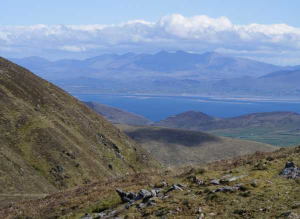 An Cnapán MórMountain / peak · 2.0 mi
 Maughanablagher CliffsCliff · 2.6 mi
 An ChonairViewpoint · 2.7 mi
 Ballintaggart Ogham StonesVisitor information · 3.1 mi
 Tobar EoinSpring · 3.2 mi