What is recorded here
Mortons and others built the first fort there. People left it when the land changed or danger moved elsewhere. The earth kept the shape because it was useful, not because it was magical.
Located at the crest of the S-facing slope of a drumlin. This is a subcircular or oval grass-covered area (dims 55m NW-SE; 45m NE-SW) defined by a scarp (H 1.3-2.1m) and hedge with slight traces of a bank at N, and a fosse (Wth 2.5m; D 0.4m) WSW-N-SE. An entrance gap at E may be original but it had been widened.
The above description is derived from the published 'Archaeological Inventory of County Monaghan' (Dublin: Stationery Office, 1986). In certain instances the entries have been revised and updated in the light of recent research.
Revised by: Michael Moore
Date of revision: 29 January 2018
The monument record does not grant public access. Check the route and ask the landowner before entering private land.
- What survives
- Recorded monument
Places near here
 IndicatedCrannog · 454 yd
 Crannog in Tirnahinch FarCrannog · 1346 yd
 mill (wind)mill (wind) · 1499 yd
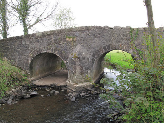 Bensons Bridgebridge · 1603 yd
 PLANTATION TOWER-HOUSE & BAWN (unlocated) in ShannockPLANTATION TOWER-HOUSE & BAWN (unlocated) · 1.4 mi
 Bawn in CrossmoyleBawn · 1.6 mi
 Abbey RuinsHeritage attraction · 1.7 mi
 The Cassandra Hand CentreMuseum · 1.7 mi
 Saint John's WellSpring · 2.0 mi
 KillycoonaghWood · 2.1 mi
 Common LimeCommon Lime · 2.3 mi
 Jaundice WellSpring · 2.4 mi