What is recorded here
Thirty-eight metres of packed earth and stone circle the hill at Gorteennamuck, forcing every shadow to break against a visible wall. The triangular projection at the north-west and the causewayed entrances suggest a place built to be seen before it was built to be entered. People may have stood inside that ring, watching the land turn beneath them, while the waterlogged ditch held back whatever approached without invitation.
On a hill with good views in all directions. A raised circular area (diam. 38.5m) enclosed by a substantial flat-topped, earth and stone bank (ext. H 2.1m; max. Wth 6m) and a partially waterlogged fosse with external bank. All enclosing elements are best preserved from NE-E-SE. The fosse (Wth 2.6m) is partially infilled from S-W due to bank slump and at NNW it widens to form a triangular projection (dims. 12m x 6m). The external bank is also flat-topped and denuded from SW-W-NW. A clearly defined causewayed entrance (Wth 2.3m) is visible to NE; a narrower entrance (Wth 1.65m), also causewayed, is less defined to SW. A low earthern bank (Wth 2m; max. H 0.5m) bisects the interior from NE-SW. Externally, to SE, a low earthen bank (L 15m; Wth 2m), extending in a NW-SE direction may represent an ancient field boundary.
Compiled by: Jean Farrelly
Date of upload: 26 January 2018
The monument record does not grant public access. Check the route and ask the landowner before entering private land.
- What survives
- Recorded monument
Places near here
 Enclosure in GorteennamuckEnclosure · 462 yd
 Enclosure in GorteennahillaEnclosure · 997 yd
 Mill (in ruins)Water mill, unclassified · 1486 yd
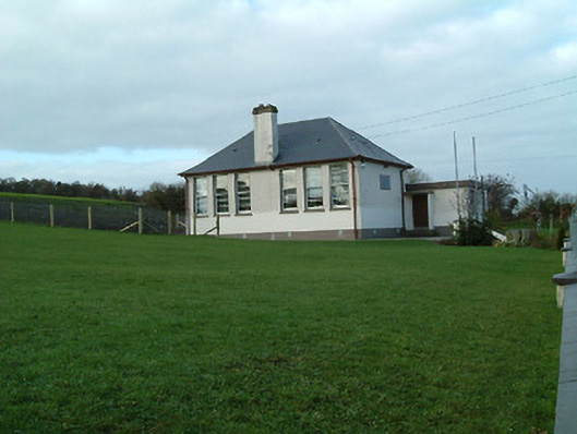 Creenkill National Schoolschool · 1668 yd
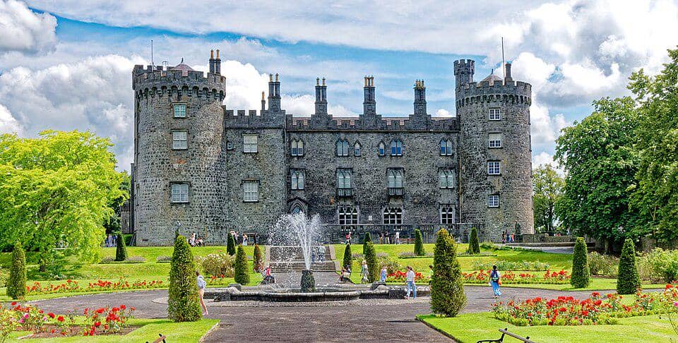 CastleCastle, unclassified · 1696 yd
 Street fieldArchaeological place · 1.4 mi
 Glashare CastleCastle, tower house · 1.5 mi
 Clomantagh HillMountain / peak · 3.0 mi
 DelaneyMemorial · 3.7 mi
 John HelyMemorial · 3.7 mi
 The CopseWood · 5.0 mi
 Anker's IslandIsland · 5.7 mi