What is recorded here
Fairy forts are earthen rings, often with ditches and banks, and they appear across the British Isles. They may have served as boundary markers, ceremonial places, temporary camps or domestic sites. Some may also have been burial or craft locations. The correct meaning depends on the evidence at each individual site.
Lisanrahan. This univallate rath is marked on the 1841-42 and 1916 OS maps. However, no visible trace remains today.
The above description is derived from C. Toal, ‘North Kerry Archaeological Survey’. Dingle. Brandon in association with FAS Training and Employment Authority (1995), no. 568. In certain instances the entries have been revised and updated in the light of recent research.
Date of upload: 2 August 2013
This remains an important historical record, but the official description says the monument is no longer visible or has been destroyed. The monument record does not grant public access. Check the route and ask the landowner before entering private land.
- What survives
- No visible remains or recorded as destroyed
Places near here
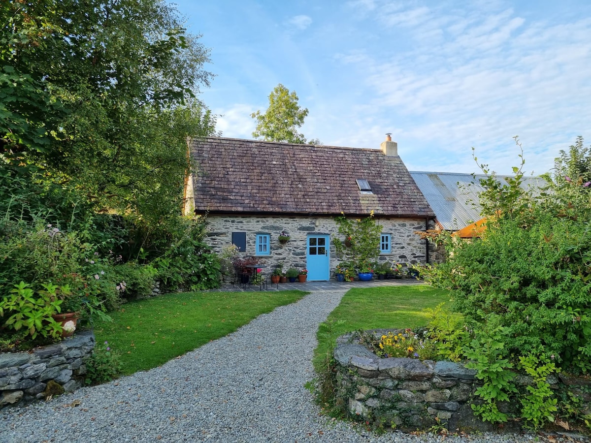 Hermitage in LixnawHermitage · 1117 yd
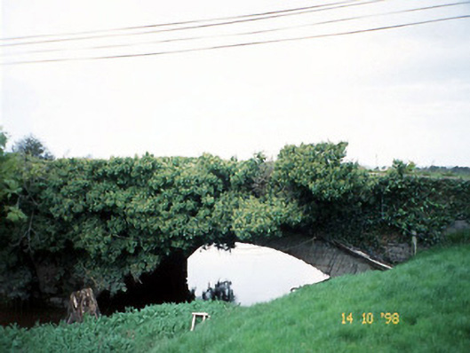 Lixnaw Bridgebridge · 1265 yd
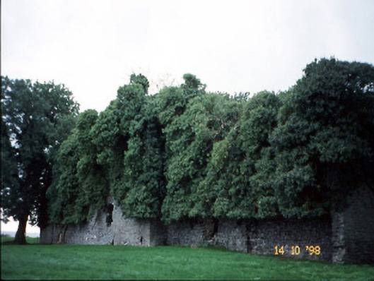 Old Courtcountry house · 1441 yd
 CastleCastle, Anglo-Norman masonry castle · 1475 yd
 Fulacht fia in Deerpark (clanmaurice By.)Fulacht fia · 1639 yd
 Ballymacaquinn Castle (remains of)Castle · 3.4 mi
 Kilflynn Nature ReserveNature reserve · 3.6 mi
 Pierce's IslandIslet · 6.1 mi
 Clashmealcon CavesCave · 6.1 mi
 Stack's MountainMountain / peak · 6.2 mi
 CruslineMountain / peak · 6.3 mi
 Tobar na MoltSpring · 6.4 mi