What is recorded here
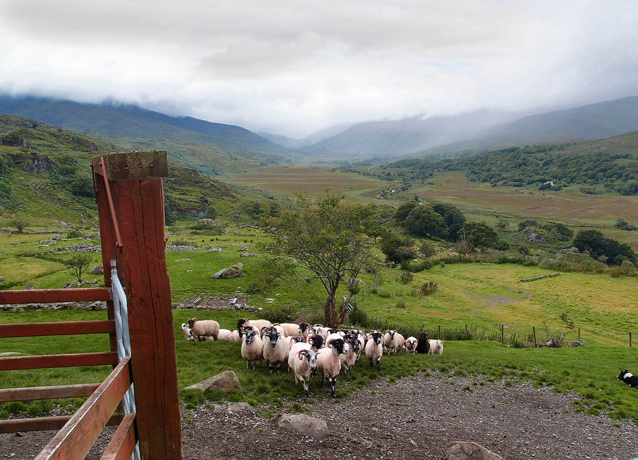
Situated at the bottom of a large pastoral field, immediately S of this site lies boggy land. The length of the spread of burnt earth and stones run for c 42m NE-SW, the width is c .4m NW-SW.
The above description is derived from C. Toal, ‘North Kerry Archaeological Survey’. Dingle. Brandon in association with FAS Training and Employment Authority (1995), no. 63. In certain instances the entries have been revised and updated in the light of recent research.
Date of upload: 1 August 2013
The monument record does not grant public access. Check the route and ask the landowner before entering private land.
- What survives
- Recorded monument
Places near here
 Enclosure in AghacooraEnclosure · 1280 yd
 Fulacht fia in AghacooraFulacht fia · 1573 yd
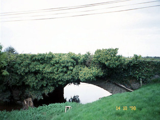 Lixnaw Bridgebridge · 1.5 mi
 CastleCastle, Anglo-Norman masonry castle · 1.5 mi
 Old Courtcountry house · 1.5 mi
 Ballymacaquinn Castle (remains of)Castle · 2.8 mi
 Kilflynn Nature ReserveNature reserve · 2.9 mi
 CruslineMountain / peak · 5.5 mi
 Tobar na MoltSpring · 5.5 mi
 Stack's MountainMountain / peak · 5.6 mi
 Ardfert Franciscan FriaryVisitor information · 6.4 mi
 Ardfert FriaryVisitor information · 6.4 mi
Other information
Photo: Credit not shown in the picture search · Rights wording not checked; contact us if this picture should be removed