What is recorded here
Fairy forts are human ringforts misnamed because people stopped remembering they were human. Garrymore is no exception: a raised circular area forty metres across, enclosed by two earthen banks and outer ditches, with a large southern break in the inner bank that may have been the entrance. Farms and forgetting ploughed away parts of it, yet the outline still stands out in the Cavan field like a breath held underground. The fairy label is not fantasy, but confession: when a place outlives the names given to it, it becomes familiar in a different language.
Raised circular area (int. dims. 40.9m E-W; 40.3m N-S) enclosed by two substantial earthen banks with outer fosses. Outer bank and intermediate fosse have been ploughed out from SE-WSW but their outline is still clearly identifiable. Large break in inner bank at S may represent original entrance, but there is no accompanying causeway.
The above description is derived from the published 'Archaeological Inventory of County Cavan' (Dublin: Stationery Office, 1995). In certain instances the entries have been revised and updated in the light of recent research.
Date of upload/revision: 22 December 2008
The monument record does not grant public access. Check the route and ask the landowner before entering private land.
- What survives
- Recorded monument
Places near here
 Captain Thomas Sheridan IRAMonument · 1037 yd
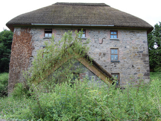 mill (water)mill (water) · 1084 yd
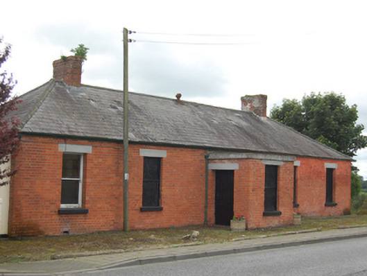 surgery/clinicsurgery/clinic · 1129 yd
 Coolnacarrick ForestForest · 1273 yd
 Drumcarban ForestForest · 1650 yd
 Caldragh (Site of)Church · 1.0 mi
 DrumcarbanMountain / peak · 1.3 mi
 BellvilleMountain / peak · 1.6 mi
 Lismore CastleCastle, unclassified · 1.6 mi
 Castle CosbyCastle, unclassified · 1.9 mi
 Red IslandIslet · 2.3 mi
 Cornafean GFCMemorial · 3.1 mi