What is recorded here
Furnaceland holds a twenty-six-metre ringfort where a deep waterlogged ditch surrounds a raised grassy disc. A break in the northern bank suggests an entrance, while a smaller internal ridge hints that someone once built a hut beside the main structure. Vegetation has swallowed the edges, but the shape remains clear enough to imagine footsteps crossing the wet ground and lamps burning inside the tiny dwelling.
Raised circular area (int. diam. c. 26m) enclosed by a slight external earthen bank with a deep internal waterlogged fosse. Inside the bank at N and running parallel to it is a short segment of earthen bank - possibly the remains of a hut site. Break in bank at NE may represent original entrance. Site is overgrown with vegetation.
The above description is derived from the published 'Archaeological Inventory of County Cavan' (Dublin: Stationery Office, 1995). In certain instances the entries have been revised and updated in the light of recent research.
Date of upload/revision: 22 December 2008
The monument record does not grant public access. Check the route and ask the landowner before entering private land.
- What survives
- Recorded monument
Places near here
 Church in ruinsChurch · 668 yd
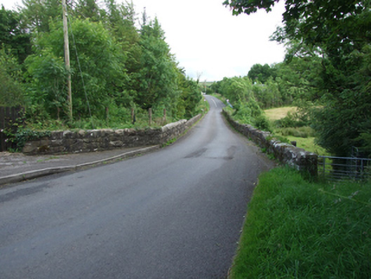 Long Bridgebridge · 887 yd
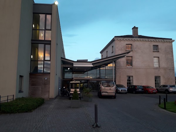 DrumbarMountain / peak · 1628 yd
 HawkswoodForest · 1.0 mi
 DrumconraMountain / peak · 1.3 mi
 A Tribute to the BorderbustersMemorial · 1.3 mi
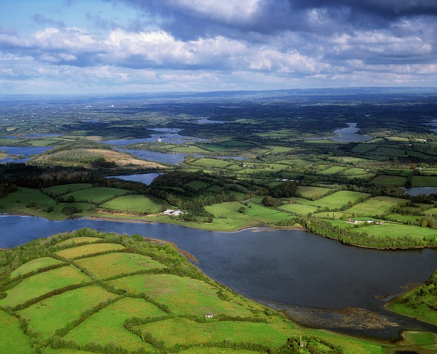 Gubnafarna Cuilcagh Anierin Uplands Special Area of ConservationWood · 1.4 mi
 IndicatedFairy fort / stone ringfort · 1.7 mi
 ENCLOSURE in GreenanENCLOSURE · 2.1 mi
 Tory HoleCave · 2.2 mi
 Grainne's GraveArchaeological place · 2.3 mi
 Pollnagapple Natural ArchCliff · 2.4 mi