What is recorded here
Fairy fort in Flean More, County Limerick: a shallow earthen ring, 26 metres across, hidden under tall grass and ringed by a field boundary with one gate at the north. The scarp is gentle on most sides but almost disappears toward the southwest, as if the circle forgot part of its own edge. Cattle may have walked the pasture above it for centuries, trusting the grass to keep the old line private.
In undulating pasture. Circular area (23.7m N-S; 26m E-W) defined by scarped edge (H 0.8m; Wth 5.5m); scarp long and gradual except SE->SW where it is barely perceptible. Running along base of scarp, and concentric with it, is a field boundary which completely encloses site. Interior and scarped edge are covered by tall grass. At N is gate in field boundary.
Compiled by: Denis Power
Date of upload: 26 August 2011
The monument record does not grant public access. Check the route and ask the landowner before entering private land.
- What survives
- Recorded monument
Places near here
 Church in Flean MoreChurch · 326 yd
 Fulacht fia in Killacolla (shanid By.)Fulacht fia · 1114 yd
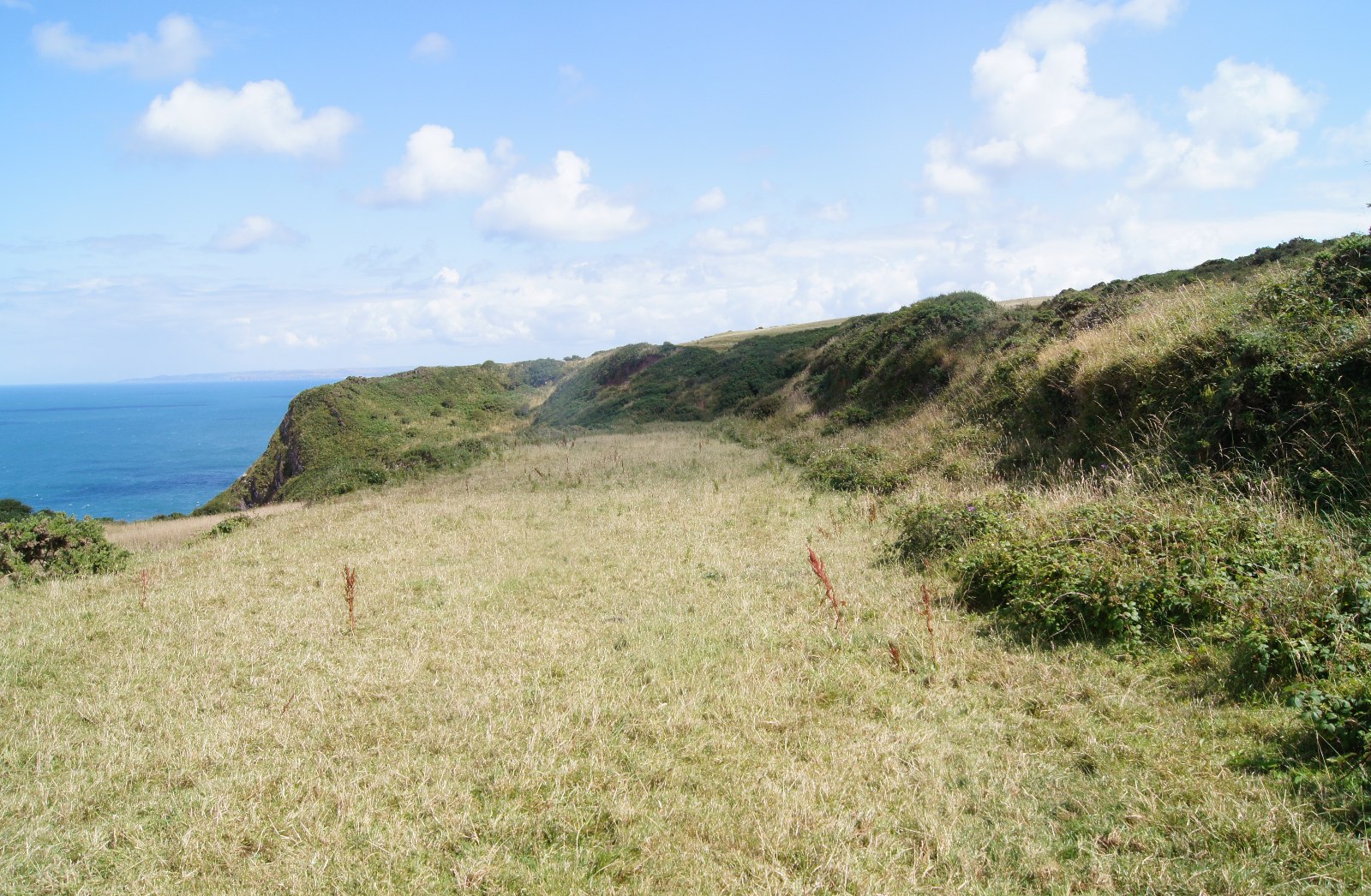 Field boundary in Killacolla (shanid By.)Field boundary · 1193 yd
 Prospect HillMountain / peak · 1225 yd
 TobercloonaghSpring · 1685 yd
 Scoil Naomh Mhuireschool · 1.0 mi
 Castle (Site of)Castle, unclassified · 1.9 mi
 Loghill HoCastle, unclassified · 2.5 mi
 Mountshannon PointHeadland · 3.1 mi
 Mountshannon WoodWood · 3.2 mi
 Killanna PointHeadland · 3.7 mi
 Monterey CypressMonterey Cypress · 3.9 mi