
What is recorded here
Fairy fort / earthen ringfort in Faghbane: A circular enclosure, about 20m across, lies hidden in level pasture east of Killarney. It appears only as a cropmark in an aerial photograph from 1989, not on the ground. The Flesk River flows 450m to the north. What is invisible to feet may still be readable by light.
In level pasture, on top of a hillock to the E of Killarney and 450m S of the Flesk River. A circular enclosure (diam. c. 20m) is visible as a cropmark on an aerial photograph (OSAP, 2122-3) taken in 1989. This possible rath is not visible at ground level.
Compiled by: Elizabeth Byrne, Ursula Egan and Sheila Ronan, Archaeological Survey Unit, University College, Cork.
Date of upload: 31 January 2011
The monument record does not grant public access. Check the route and ask the landowner before entering private land.
- What survives
- Recorded monument
Places near here
 Religious houseReligious house, Franciscan friars · 603 yd
 IndicatedFairy fort / stone ringfort · 802 yd
 Flesk CastleCastle · 855 yd
 Woodfordhouse · 1040 yd
 Sheheree Bog Nature ReserveNature reserve · 1215 yd
 Lissivigeen Stone CircleHeritage attraction · 1501 yd
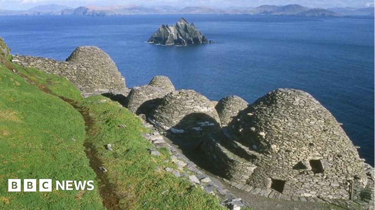 Hut site in ClasheenHut site · 1509 yd
 Mass RockNamed rock · 1.0 mi
 McCarthy Mor CastleCastle · 1.5 mi
 The Blue PoolGallery · 1.6 mi
 Blue Pool Nature ReserveWood · 1.7 mi
 Killarney First World War MemorialMemorial · 1.8 mi
Other information
Photo: Credit not shown in the picture search · Rights wording not checked; contact us if this picture should be removed