What is recorded here
Thirty-two centuries of rain have not erased the double bank and narrow ditch that circle a half-hectare field in County Galway. The earth still stands tall enough to block the sky when viewed from inside, and faint stone edges show through the grass on both ridges. A causeway gap faces east, inviting entry rather than warning against it. Deer may have crossed this same rise later, but the shape belongs to human hands and human ambition.
On a rise in undulating pastureland. This circular rath (diam. 49.6m), in fair condition, is defined
by an inner bank (base Wth 1.9m; Wth across the top 1.25m; int. H 0.95m; ext. H 2.18m), intervening fosse (base Wth 1.9m) and an outer bank (base Wth 4.25m; Wth across the top 0.8m; int. H 1.58m; ext. 0.4m). Traces of internal stone-facing are visible on both banks. There is a causewayed entrance gap at E. A geophysical survey of the site revealed an inner fosse and what may be some buildings in the interior (Beglane 2014, 313-14). Beglane (ibid.) suggests that the rath may have been modified and reused when the high medieval deer park (GA105-236----) was established. Another rath (GA105-081----) lies c. 325m to the SW; there is an enclosure (GA105-208----) c. 95m to the S, a hillfort (GA105-205----) c. 75m to the W and a standing stone (GA105-237----) c. 460m to the SSW. (ASGAP 193:36A)
Compiled by: Olive Alcock
Date of upload: 15 October 2020
The monument record does not grant public access. Check the route and ask the landowner before entering private land.
- What survives
- Recorded monument
Places near here
 Stone Islands SouthIslet · 1359 yd
 Long PointHeadland · 1508 yd
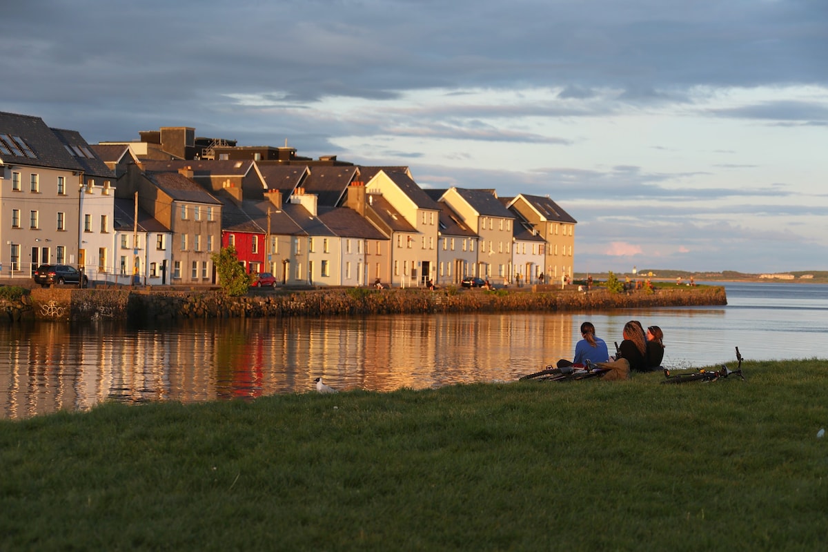 Hillfort in EarlsparkHillfort · 1521 yd
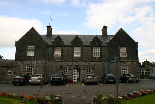 Saint Brendan's Hospitalworkhouse · 1726 yd
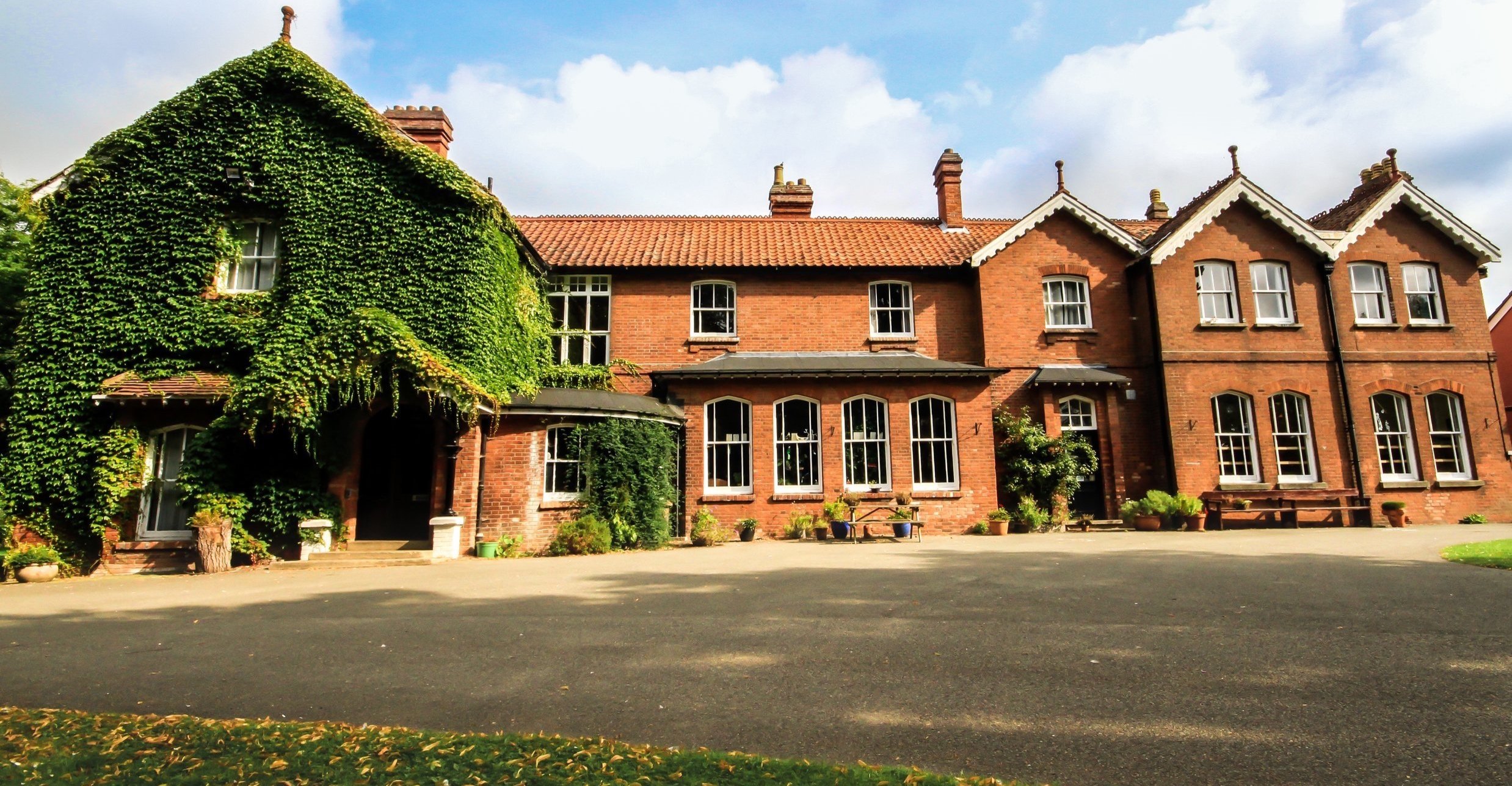 Summerhill Ho.House, 18th/19th century · 1.0 mi
 Island McCooIslet · 1.1 mi
 Field boundary in CarnField boundary · 1.2 mi
 Ballynamantragh CastleCastle, unclassified · 2.4 mi
 Ballygasty Castle in ruinsCastle, unclassified · 2.4 mi
 Dartfield Horse MuseumHeritage attraction · 3.8 mi
 Turoe StoneHeritage attraction · 4.8 mi
 Scalpeen RockNamed rock · 5.3 mi