What is recorded here
Thirty-two metres of forgotten anger sit in Durraclogh pasture, wrapped in thorn bushes and nettles. The earthen bank still rises two metres on the outside, marking a circular boundary that human fields later swallowed rather than destroyed. Whatever lived inside has vanished, but the shape remains stubbornly intact, resisting the pasture and waiting for someone to remember why it was built.
In pasture, on N-facing slope. Circular area (diam. c. 32m) enclosed by an earthen bank (int. H 0.7m; ext. H 2m) with external fosse (D 0.4m; Wth 1.4m), and external bank (int. H 1.6m; ext. H 0.45m) S->N; enclosing element overgrown with thorn bushes. Incorporating external bank and entirely surrounding enclosure is field boundary, abutted by other field boundaries at E, S, SW and NW. Level interior overgrown with briars and nettles.
Compiled by: Denis Power
Date of upload: 26 August 2011
The monument record does not grant public access. Check the route and ask the landowner before entering private land.
- What survives
- Recorded monument
Places near here
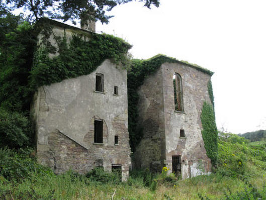 Ballynoe Housecountry house, stables · 876 yd
 Enclosure in Ballynoe (connello Upper By., Ballynoe Ed)Enclosure · 897 yd
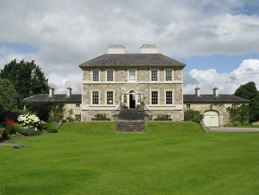 Ballyneale Housecountry house · 1403 yd
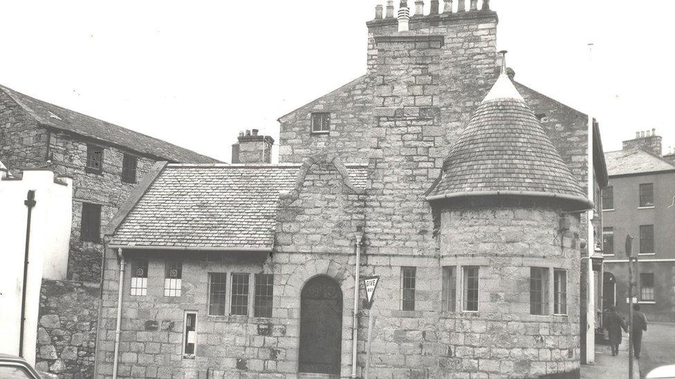 Enclosure in Castletown (connello Upper By.)Enclosure · 1.0 mi
 IndicatedCastle, motte · 1.6 mi
 Castle (in ruins)Castle, hall-house · 1.6 mi
 Our Lady's WellSpring · 1.6 mi
 Famine stoneMemorial · 2.8 mi
 Saint Derivla's WellSpring · 2.9 mi
 KnockfeerinaMountain / peak · 3.0 mi
 European ashEuropean ash · 5.9 mi
 National Co-op MuseumMuseum · 7.2 mi