What is recorded here
Fairy fort / earthen ringfort in Drumraine (tirerrill By.) is a fairy fort or earthen ringfort in Drumraine (tirerrill By.), County Sligo, Ireland. It occupies a south-facing pasture slope as a raised circular area measuring twenty-four by twenty-three metres. An earthen bank defines the southwest and southeast edges, while a scarp marks the remaining boundary. A narrow ramp provides entry at the southeast, reinforced by a short line of stones on its western side.
In pasture, on a S-facing slope. A raised circular area (24m N-S; 23m E-W) defined by an earthen bank (int. H 0.6m; ext. H 1.95m) SW-SE and elsewhere by a scarp. The entrance is via a ramp (Wth 1.4m) at SSE, revetted with a line of stones (L 3.4m; H 0.2m) on the W side. A N-S field boundary abuts the external face of the bank at W. The fosse (D 0.4m) is evident NE-SE and is infilled elsewhere. There is a field boundary along the outer edge of the infilled fosse N-NE. A small quarry (5m N-S; 7m E-W; D 0.9m), now disused, is in the infilled fosse at S. The interior is level and raised to compensate for the hillslope. The N half of the rath is densely covered with overgrowth.
The above description is derived from the published 'Archaeological Inventory of County Sligo' compiled by Ursula Egan, Elizabeth Byrne, Mary Sleeman with Sheila Ronan and Connie Murphy (Dublin Stationery Office, 2005).
Date of upload: 18 January 2008
The monument record does not grant public access. Check the route and ask the landowner before entering private land.
- What survives
- Recorded monument
Places near here
 Flanigans FortFairy fort / earthen ringfort · 235 yd
 Rocks FortFairy fort / earthen ringfort · 349 yd
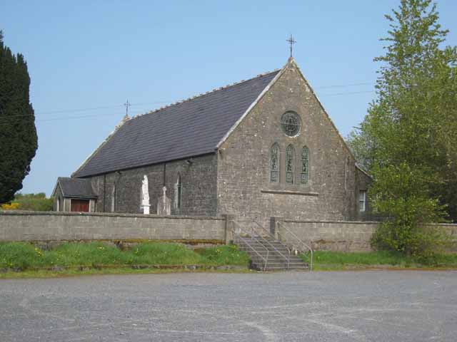 Saint Patrick's Catholic Churchchurch/chapel · 1.1 mi
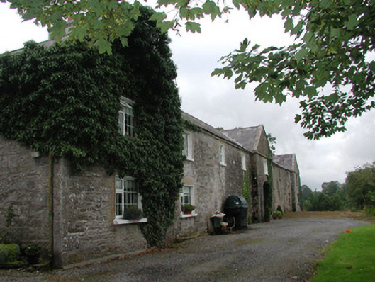 Ardagh Housefarmyard complex · 1.2 mi
 Castle BaldwinCastle · 1.8 mi
 Riverstown Folk ParkHeritage attraction · 1.9 mi
 Bricklieve Castle (in Ruins)Castle, unclassified · 2.2 mi
 Annaghgowla IslandIslet · 2.5 mi
 InishmoreIslet · 3.0 mi
 School CaveCave · 3.3 mi
 Bricklieve MountainsMountain / peak · 3.4 mi
 Treanscrabbagh caveCave · 3.5 mi