What is recorded here
Drumharsna South holds a faded thirty-four-metre ring where a field wall now cuts through ancient earth. The eastern bank has vanished beneath pasture, yet darker grass still traces its lost curve like a shadow refusing to leave. Cattle walk across the remains without knowing they tread a forgotten chamber, while the western stone bank watches the valley unchanged.
On a gentle S-facing slope in pastureland. Poorly preserved circular rath (diam. 34m) defined by a bank of earth and stone from S through W to N. A field wall cuts the monument at N and S and no visible surface trace of it survives to E of it. However, its outline is indicated by a band of darker vegetation. (McCaffrey 1952, 273, no. 39)
Compiled by: Galway Archaeological Survey, UCG
Date of upload: 11 December 2017
The monument record does not grant public access. Check the route and ask the landowner before entering private land.
- What survives
- Recorded monument
Places near here
 Drumharsna Castle (in ruins)Castle, tower house · 883 yd
 Enclosure in Drumharsna SouthEnclosure · 883 yd
 Drumharsna CastleHeritage attraction · 884 yd
 IndicatedEnclosure · 1282 yd
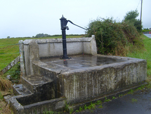 water pumpwater pump · 1529 yd
 Maryville Househouse · 1.2 mi
 Ballymaquiff CastleCastle · 1.3 mi
 HawthornHawthorn · 2.6 mi
 European ashEuropean ash · 2.6 mi
 Mulroney's IslandIslet · 4.1 mi
 Cusheen IslandIslet · 4.4 mi
 Drumacoo Monastic SiteHeritage attraction · 4.7 mi