What is recorded here
Inside a broken earthen ring on Drumharriff Hill, a narrow gap faces the western sky while faint ditches mark the northern edge. The completed fort would have stood above marshy pasture, watching water and weather move through both parts of Lough Erne. Its people may have kept fire, food and argument inside that small circle, leaving behind only a ridge of soil and the memory of a life lived at the edge of the lake.
Internal diam. 17.3m. A subcircular area enclosed by an earthen bank. There are traces of a fosse on the N and NE quadrants, and a possible entrance in the SW. Situated on the S crest of Drumharriff Hill, it commands good views of Upper and Lower Lough Erne. It is surrounded by marshy pasture land.
The above description was derived from the 'Archaeological Survey of County Donegal. A description of the field antiquities of the County from the Mesolithic Period to the 17th century.' Compiled by: Brian Lacey with Eamon Cody, Claire Cotter, Judy Cuppage, Noel Dunne, Vincent Hurley, Celie O'Rahilly, Paul Walsh and Seán Ó Nualláin (Lifford: Donegal County Council, 1983). In certain instances the entries have been revised and updated.
Date of upload: 22 September 2008
The monument record does not grant public access. Check the route and ask the landowner before entering private land.
- What survives
- Recorded monument
Places near here
 Drumharriff WoodForest recreation place · 258 yd
 The Station Houserailway station · 294 yd
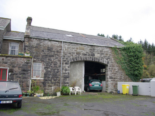 goods shedgoods shed · 301 yd
 Castle McGrathCastle · 1.1 mi
 Teige's RockIsland · 1.3 mi
 Smiths RocksIsland · 1.3 mi
 AP Cropmark- Possible rath/ circular enclosure in AghahannaghAP Cropmark- Possible rath/ circular enclosure · 1.5 mi
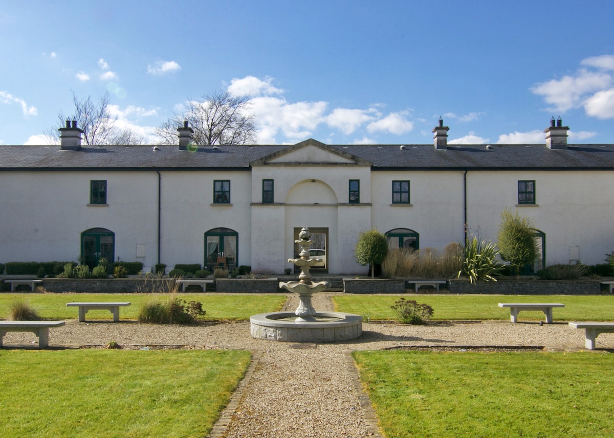 ENCLOSURE in DrumlongfieldENCLOSURE · 1.7 mi
 Boa IslandIsland · 2.0 mi
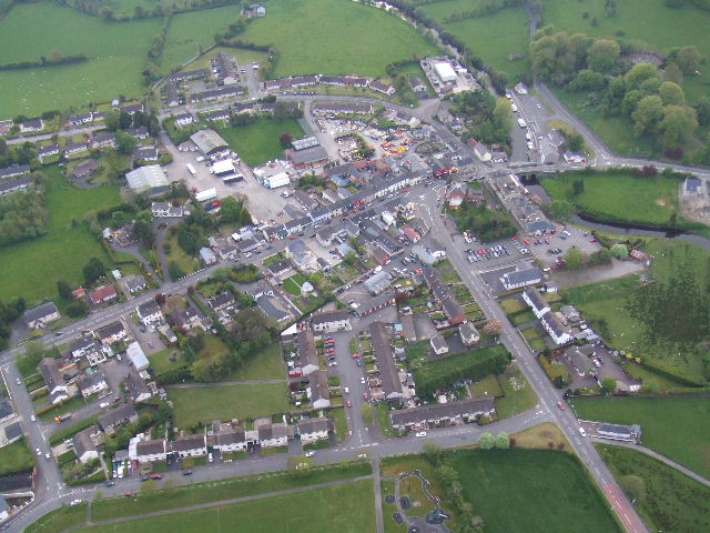 Kesh ForestForest · 2.4 mi
 STONE FIGURES IN CALDRAGH GRAVEYARD: BOA ISLAND in DreenanSTONE FIGURES IN CALDRAGH GRAVEYARD: BOA ISLAND · 3.1 mi
 Derrin MountainMountain / peak · 3.2 mi